

























































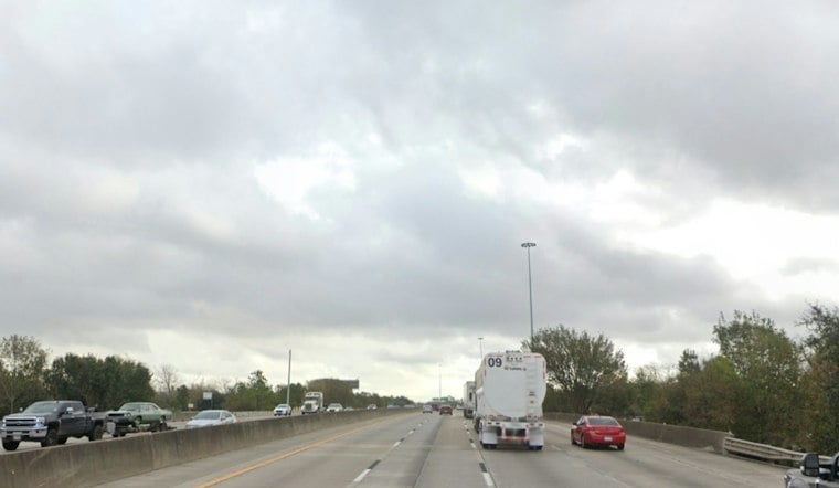
Houston’s latest forecast calls for showers and thunderstorms, with showers and possibly a thunderstorm more likely after 3 p.m. The high is expected to reach near 60 degrees, with a 100% chance of daytime precipitation and 0.75 to 1 inch of rain possible, the National Weather Service forecast says.
Rain and thunderstorms are expected around Houston Sunday. Heavier downpours could cause localized street flooding, especially closer to the coast. The National Weather Service forecasts 0.5 to 1 inch of additional rain in other areas and up to an additional 2 inches along the coast; 2 to 4 inches had already fallen in parts of Matagorda and Brazoria Counties, according to its Houston-area forecast discussion.
How to Track Local Flood Conditions
The Harris County Flood Warning System displays rainfall totals alongside channel-status categories such as “Near Top of Bank” and “Out of Bank.” These records offer a way to monitor conditions during heavy rain; the forecast does not establish that flooding has occurred at any particular location.
The rain threat is not expected to be uniform across the region: the National Weather Service forecasts 0.5 to 1 inch of additional rain in other areas and up to an additional 2 inches along the coast. It also says 2 to 4 inches had already fallen in parts of Matagorda and Brazoria Counties, according to its Houston-area forecast discussion.
Storms Could Peak During Sunday Afternoon
Showers and thunderstorms are expected, with showers and possibly a thunderstorm becoming more likely after 3 p.m. in Houston. The strongest cells could bring heavy downpours and gusty winds; the National Weather Service says strong to severe storms are a risk in coastal and marine areas. Check the latest Houston forecast before making outdoor plans or traveling.
Coastal areas face the roughest conditions, with stronger winds expected near Galveston Bay and the Gulf. A Gale Warning is in effect for Galveston Bay through 6 a.m. Monday, followed by a Small Craft Advisory through 3 p.m. Monday; wind advisories also cover parts of the region. Check the National Weather Service marine alert for the latest details.
The marine warning is a serious hazard for boaters, not just a forecast of gusty weather: the National Weather Service says east winds of 25 to 30 knots, gusting as high as 40 knots, will make Galveston Bay extremely rough and could capsize or damage vessels. A Small Craft Advisory is scheduled to follow the Gale Warning from 6 a.m. to 3 p.m. Monday, under the current marine alert.
Monday Brings A Brief Reset
Monday should bring drier air, with highs in the upper 50s west of I-45 and low 60s east of I-45, according to the National Weather Service forecast.
Warm Weather Returns By Midweek
Houston gets a quick rebound after the unsettled start to the week: Tuesday should be sunny with a high near 65, followed by mostly sunny skies and temperatures near 71 Wednesday. Thursday and Friday could reach about 75 and 74 degrees, respectively, while Saturday may climb to 77 with a 20% chance of showers. See the latest extended forecast for Houston.



