

























































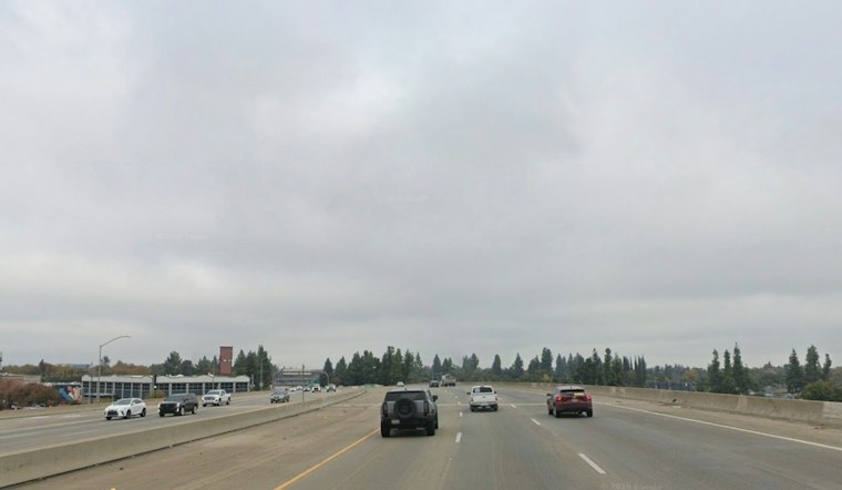
Fresno starts Monday with rain in the forecast and a high near 57 degrees, but the dry spell is running out of room. Rain is expected from late morning into the afternoon, setting up a damp day before a brighter break on Tuesday. The latest Fresno forecast puts Monday’s high at 57.
Rain chances are high from late morning through the afternoon, with a 90% chance of precipitation and a high near 57 degrees. Northwest winds are forecast at 5 to 15 mph. The National Weather Service’s Fresno forecast gives the updated high and precipitation chance.
Monday night brings a 50% chance of additional rain before 10 p.m., followed by mostly cloudy skies and a low around 45. Tuesday should feel like a small reset, with mostly sunny skies, light winds and a high near 59 degrees. The updated Fresno forecast lists Tuesday’s high at 59.
Wednesday And Thursday Bring The Bigger Storm
The next system arrives Wednesday, when rain is expected in the morning before showers develop in the afternoon, with a chance of a thunderstorm. Fresno is forecast to reach about 57 degrees, and winds could gust to around 30 mph. The earlier estimate for the western Valley was a 50% chance of 1 to 1.3 inches. The Fresno forecast matrix gives the updated rain chances and temperature.
Thursday stays unsettled, with rain early followed by more showers and thunderstorms. The high should reach 59 degrees, making Wednesday and Thursday the days to keep outdoor plans flexible.
The active alerts are focused outside Fresno’s valley floor. The National Weather Service lists a Winter Weather Advisory for parts of the Sierra Nevada above 6,000 feet through Tuesday morning and a Winter Storm Watch for Sierra elevations above 5,000 feet from late Tuesday night through late Thursday night. Its current list also includes wind and freeze alerts for the Mojave Desert, but no watch or advisory for the Fresno-Clovis forecast zone. The agency’s alert summary distinguishes those mountain and desert hazards from Fresno’s rain forecast.
The rain forecast is part of a broader unsettled pattern: the National Weather Service expects successive systems to bring rain and stronger winds to the Valley, with snow in the mountains. For the first system, Valley rainfall is forecast around a quarter to half an inch, though the chance of three-quarters of an inch to an inch is 10% to 20%. Forecasters rate confidence as medium for days three through seven. The Hanford office’s forecast discussion lays out the evolving pattern.
A Calmer Friday, Then A Mixed Weekend
Friday looks much friendlier, with mostly sunny skies and a high near 58. Saturday should be partly sunny with a high near 60 degrees. Sunday has a 30% chance of rain and a high near 60, while a possible third system could clip Central California Saturday into Sunday. The National Weather Service’s Fresno forecast lists the updated weekend outlook.
With rain, cloud cover and several storm systems lined up this week, it is a good stretch to keep umbrellas handy and give the lighter jacket a permanent spot by the door.




