

























































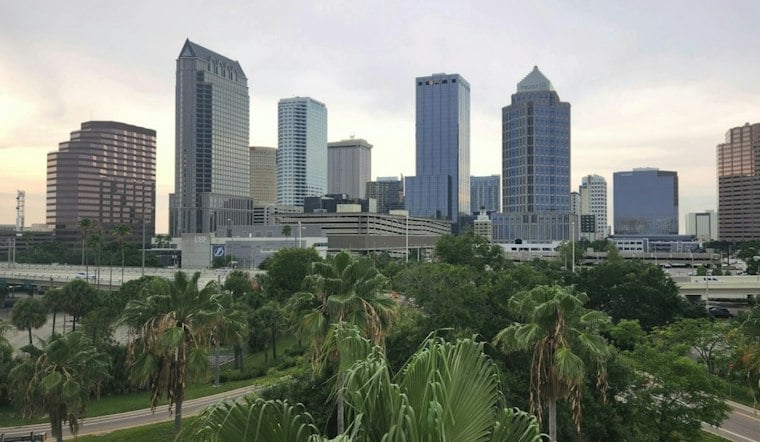
Tampa begins Tuesday cloudy and warm, with temperatures near 73 degrees and muggy conditions. Scattered showers and thunderstorms are forecast to develop around midday, making the afternoon the main period to watch for rain.
Storm Chances Rise Tuesday Afternoon
The high is forecast near 85 degrees. The chance of showers and thunderstorms increases from around noon into the evening, reaching 60% for the day. East winds are expected at 8 to 12 mph, with gusts up to 18 mph.
Showers and thunderstorms are possible Tuesday night. The forecast calls for partly cloudy skies, a low near 72 and lighter east winds.
Wednesday Brings More Heat And Storms
Mostly sunny skies are expected Wednesday morning, followed by isolated showers and thunderstorms in the early afternoon. Storms may become more scattered later in the day, and the high is forecast near 85 degrees.
Thursday is forecast to be sunny, with a high near 85 and only a small chance of rain. Mostly sunny conditions are expected Friday through Sunday, as highs gradually fall from the mid-80s to the low 80s.
Cooler Mornings Arrive This Weekend
Overnight lows are forecast to fall from around 70 degrees Thursday night to the upper 60s Friday night and the mid-60s Sunday night. A weak front is expected to bring drier air and slightly cooler mornings into the weekend and early next week. No watches or warnings are currently posted for the Tampa area, according to the National Weather Service.
What the city says about flood risk
The City of Tampa’s vulnerability assessment does not name specific neighborhoods as especially vulnerable to street flooding. It says coastal neighborhoods remain the most vulnerable, while Tampa’s flat terrain and development in inland basins also put homes and businesses beyond coastal areas at risk of flooding. The assessment does not identify a specific risk from Tuesday’s forecast, according to the City of Tampa.





