

























































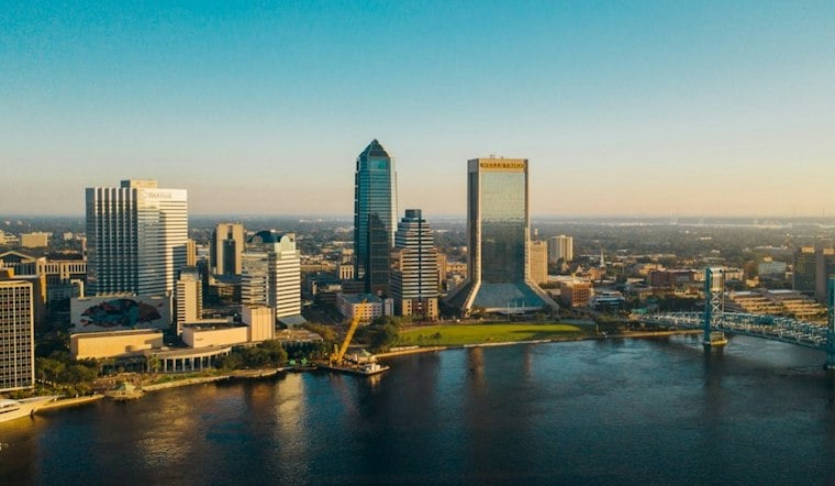
Jacksonville started Tuesday with light rain and temperatures in the mid-70s, but the damp opening should give way to mostly sunny skies and a high near 80. East winds of 9 to 15 mph, with gusts as high as 23 mph, will keep the day breezy.
The bigger concern is along the coast and the St. Johns River basin, where minor flooding and dangerous rip currents remain in play. The National Weather Service in Jacksonville has a Coastal Flood Advisory in effect through 4 a.m. Thursday, while the high rip current risk continues through late Wednesday night.
Mostly Sunny After A Damp Start
Tuesday afternoon temperatures should reach around 80, with stronger winds during the day than at night. Coastal neighborhoods will stay a little cooler under the persistent onshore breeze, while areas farther inland and west of Interstate 95 could run warmer.
Partly cloudy skies are expected Tuesday night, with temperatures holding near 70 degrees. Wednesday will be warmer, reaching about 80 degrees, with a chance for isolated afternoon showers or thunderstorms mainly inland.
Flooding And Beach Hazards Persist
The coastal flooding threat is expected to affect low-lying lots, parks and roads, with isolated closures possible. Drivers should allow extra time, avoid barricades and never drive through water of unknown depth.
Beachgoers should also treat the surf as dangerous, even if the sky looks inviting. The National Weather Service advises swimming near a lifeguard; anyone caught in a rip current should float, avoid fighting the current and move parallel to shore when possible.
Warm Through Friday Before A Cooler Weekend
Thursday stays mostly sunny and warm, with a high near 83 and a slight chance of showers or thunderstorms after 1 p.m. Friday will be partly sunny with a high near 82 and another small afternoon storm chance, while fog could become more widespread during the early-morning commute Thursday and Friday.
A slight chance of showers is in the forecast, with Monday bringing a high in the lower 70s and a nighttime low near 60.
The more settled Tuesday forecast marks a change from the wetter setup described in Hoodline's Monday update, but the coastal hazards have not gone away. For Jacksonville's beaches and riverfront areas, sunshine today is not a clean bill of weather.




