

























































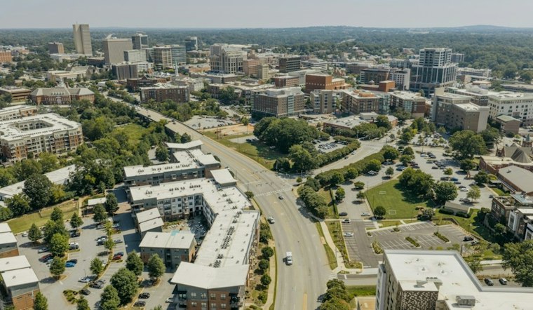
Greenville was cloudy early Monday, with temperatures around 57 degrees, but the forecast calls for skies to brighten. The high is expected to reach near 70 under mostly sunny skies. Northeast winds of 7 to 10 mph could gust to 18 mph, and rain is not expected.
Warm Weather Holds Through Tuesday
Partly cloudy skies are expected overnight, with a low near 53. Tuesday should be warmer and mostly sunny, with a high near 74—a brief stretch of late-summer-like warmth in early November.
Rain Returns Wednesday Into Thursday
The dry weather is expected to give way to rain Wednesday, with a high near 73. Rain chances increase Wednesday night, when thunderstorms are possible. More rain is likely Thursday, followed by mostly sunny skies.
A few showers are possible Friday. Sunday is forecast to be mainly cloudy.
How November compares with climate normals
The National Weather Service Greenville/Spartanburg climate normals for 1991–2020 put the average November high at 62.9°F and the average low at 40.4°F. The normal high is below the forecast highs near 70 Monday and 74 Tuesday. These November averages alone do not establish whether autumn temperatures have followed a long-term trend. The same climate normals list 3.84 inches of precipitation for November. That monthly average does not predict how much rain this week's forecast will bring, and it does not provide a year-to-year rainfall range.





