

























































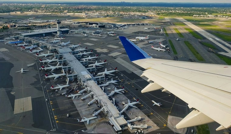
According to The Journal News (lohud), a tornado warning covered parts of southern Queens, including the JFK Airport area, and southwestern Nassau County on Thursday, with the alert set to remain in effect until 2 p.m. Emergency officials urged anyone inside the warned zone to take shelter immediately and stay away from windows as the storm moved through the region.
The National Weather Service issued the warning; New York City Emergency Management urged residents to shelter and posted the alert, which was relayed by the NYPD's official X account, NYPD News
, which reposted the alert shortly after it went out. The warning was also confirmed independently, with
ABC7 New York
reporting that the tornado warning for southern Queens and southwestern Nassau County ran until 2 p.m. Thursday, alongside a separate tornado watch for parts of central and southern New Jersey that was set to last until 7 p.m.
The National Weather Service's Upton office issued the warning after radar detected rotation in a severe thunderstorm over Rockaway Beach, as reported by Patch. At 1:39 p.m., forecasters said the storm was moving northeast at 10 mph and had the potential to produce both a tornado and quarter-size hail, with the system expected to reach Kennedy Airport around 1:45 p.m., the same report noted.
Shelter Guidance for Residents in the Warning Zone
Emergency Management advised people in the warned area to take shelter immediately in a basement or small interior room on the lowest floor, away from windows. Patch echoed that guidance, reporting that residents should shelter in a basement or an interior room on the lowest floor as the threat passed.
The National Weather Service also warned that flying debris could endanger anyone caught without shelter, and that the storm had the potential to damage buildings, vehicles and trees, per the same Patch report. Officials additionally told residents to remain indoors until it is safe to come out, a point echoed by lohud.com, which reported that people should stay inside, monitor weather alerts and check on loved ones once conditions cleared.
Wider Storm Threat Across the Region
The tornado warning arrived amid a broader severe-weather threat across the New York City area. ABC7 New York reported on the storm and tornado warning, while NBC New York reported that all New York City-area airports, along with Newark Airport, were placed under ground stops as the storms moved through.
The heaviest storms were expected to hit between about 1 p.m. and 7 p.m., tracking from South Jersey northeast toward the city, Long Island and Connecticut, according to NBC New York's live coverage. The outlet also reported that the overall severe-storm threat remained low, with conditions expected to grow less favorable for stronger storms by late afternoon and evening, even after the Storm Prediction Center added a 2% tornado threat that Thursday morning.
Forecasters expected rainfall totals of one-half inch to one-and-a-half inches in many locations, with some spots potentially seeing more than two inches where the heaviest downpours occurred, ABC7 New York reported.
How to Get Alerts and Stay Informed
City officials pointed residents to nyc.gov/beready for tornado safety guidance as the warning unfolded. New Yorkers can also sign up for emergency alerts by texting NOTIFYNYC to 692-692, a step lohud.com highlighted as a way for residents to stay ahead of fast-moving severe weather like Thursday's storm.



