As the home of the nation's most popular marathon, it's no surprise Boston is brimming with picturesque trails for runners of all abilities.
Using data from Strava and other running sources, here's a look at Boston's most quintessential running routes, all within the city's limits.
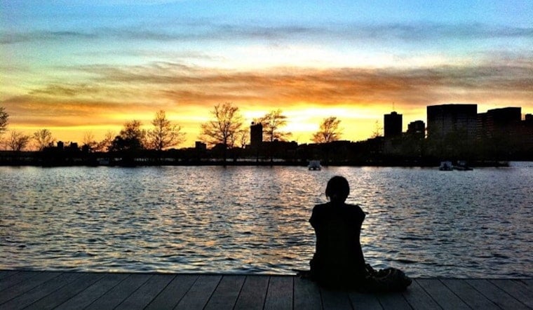
The Charles River
Boston's most popular run by far loops around the Charles River, offering tree-lined paths along both the Boston and Cambridge sides. The full recreation area offers 17 miles of paved trail through Boston, Cambridge, Watertown and Newton, but one of the most popular routes is a 4.6-mile loop on the Esplanade, near the Boston University and Longfellow bridges. With about 100 feet of elevation change, the route leads runners below city views, past Boston University and MIT, and alongside lush parks and cruising river boats. Expect heavy foot-traffic year round.
Freedom Trail
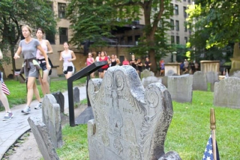
History buffs won't want to miss a trek along the historic Freedom Trail. While you could go it alone, locals and tourists rave about the Freedom Trail Run, a guided 5K jog from Boston Common to the Charlestown Navy Yard. The two-hour tour stops at 16 sites along "America's most historic trail," including the site of the Boston Massacre, Bunker Hill Monument and Paul Revere's house.
More details via Freedom Trail Run >>
Fresh Pond
To escape the hustle and bustle of the city, locals often head to Fresh Pond Reservation in Cambridge. Once upon a time, the 155-acre pond was used to harvest and ship ice to cities around the globe. Now publicly owned, it's part of Cambridge's water supply system, and the surrounding 162 acres of forest, meadows and wetland offer a natural sanctuary to area wildlife. Alternating between paved and dirt road, the 2.5-mile path around Fresh Pond also serves as a vehicle-free sanctuary for local joggers and dog-walkers, with just 35 feet of elevation gain. Smaller trails also loop surrounding meadows, Kingsley Park Hill and recreation areas.
More details via Strava and Cambridge Water Department >>
Castle Island
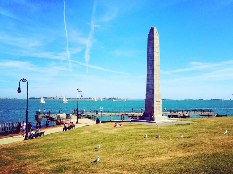
Another vehicle-free oasis for Boston runners: Castle Island. Starting at City Point, a loop around Pleasure Bay then out and back to Carson Beach takes joggers on a tour of the South Boston harbor. Along the 5.2-mile, relatively flat route, you'll catch views of Fort Independence, built between 1834 and 1851, and explore the Boston HarborWalk waterfront pathway while enjoying fresh sea breezes.
More details via Strava >>
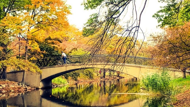
Emerald Necklace

More than 1,000 acres strong, the Emerald Necklace is a chain of nine public parks and parkways that connect Boston Commons in in Back Bay to Franklin Park in Roxbury. The full connection is roughly 10 miles long, but loops can be made of varying distances. Those who prefer to remain downtown often run half a mile from Boston Common to the Commonwealth Avenue Mall along shaded streets lined with brownstones. From there, it's less than two miles to the entrance of Fenway Park. If you'd like to go a bit further before looping back, Jamaica Pond is roughly three miles away. Once a haven for wealthy residents, the placid pond now draws locals to jog, bike, sail, row, fish and much more.
More details via GreatRuns and City of Boston >>


