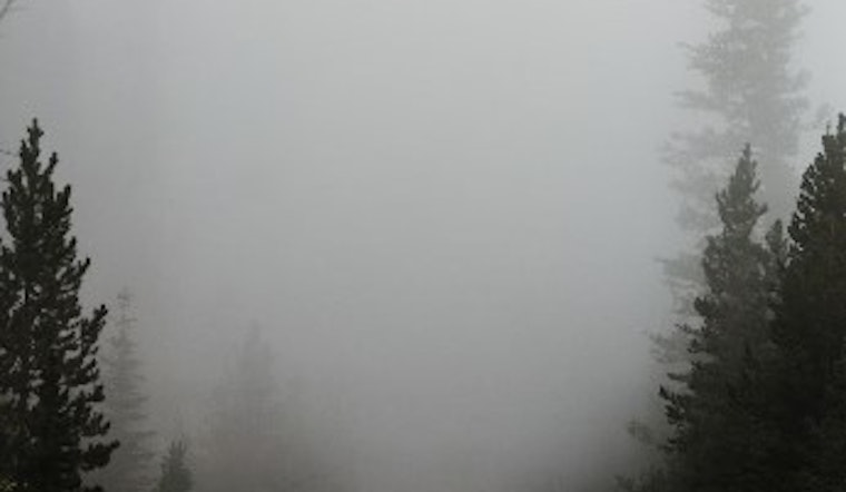
Minneapolis residents better keep their umbrellas handy and their holiday spirits high as a series of damp days are forecasted to wash over the city, dampening the cheery atmosphere. Today Minneapolis will experience areas of drizzle and patchy fog before 11 am, with the clouds persisting and temperatures peaking at a high near 44, according to the National Weather Service.
Tonight, the drizzle is expected to take a brief pause before 11 pm, but a widespread fog will roll in mainly between 10 pm and 5 am, keeping visibility low. The mercury will hover around a mild 39 degrees, giving a bit of a break to those dreaming of a White Christmas. The wind, remaining a calm southeast breeze around 5 mph, is taking its holiday break.
Come Saturday, the fog is expected to lift before 11 am, paving the way for partly sunny skies and a pleasant high of around 50 degrees, just in time for any last-minute shopping or holiday preparations. However, come nighttime, the city faces a 40 percent chance of rain, primarily after midnight, while temperatures stay a relatively warm 46 degrees with the south-southeast wind persisting at around 10 mph, reported by the National Weather Service.
On Sunday, the forecast is straightforward: rain. And a lot of it, by Minnesota standards—with a 90 percent chance of showers and a high near 54, it's likely to be a wet end to the weekend. A stiff southeast wind at 10 to 15 mph could make those raindrops sting just a bit more, though gusts are expected as high as 30 mph. The rainfall brings a promise of new precipitation amounts between a quarter and half of an inch possible.
Weather conditions will take a frostier turn come Monday night, as rain is slated to transition into a mix of rain and snow before 2 am, setting a chilly low at around 35. The tempestuous north-northeast winds will keep up their pace at 15 to 20 mph, gusting to 30 mph, as the chance of precipitation jumps to 80 percent. Tuesday won't offer much respite, with the likelihood of rain and snow shifting throughout the day, and the thermometer stalling at a high near 40 degrees.
The possibility of mixed precipitation continues into Tuesday night, and by Wednesday, the city might catch a fleeting glimpse of the winter sun through partly sunny skies and a high near 39. All this climatic theatre comes to a close with somewhat quieter weather on Thursday, when a mostly sunny day awaits the city, and temperatures lean into a cooler high near 37 degrees. With the winds calming down to around 10 mph from the north-northwest, the post-holiday week might end on a less turbulent note, as stated by the National Weather Service.


