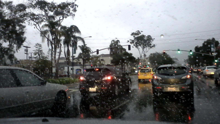
San Diegans brace for a wet and windy holiday season as a low-pressure system off the central California coast sends a deluge into the region. The National Weather Service (NWS) has issued a Flood Watch from late tonight through Friday afternoon for parts of Southern California, warning of possible flooding caused by excessive rainfall. Showers and thunderstorms are expected to bring heavy rains, with the most severe weather anticipated for late Thursday into Friday.
Temperatures are tipped to stay above average in the lead-up to the downpours, hovering in the mid-60s to lower 70s before taking a dip on Friday, as reported by the NWS. Along with the rains, the south-to-southeast winds are forecast to strengthen on Thursday, especially for coastal waters and coastal areas, with some gusts potentially reaching around 30 mph. Orange and southwestern San Bernardino Counties could see 2.5 to 3.5 inches of rain. San Diego and western Riverside Counties are slated to receive around one inch for the deserts and 2 to 3 inches from the coast to the mountains.
In preparation for the storm system, authorities have extended a Small Craft Advisory from 2 AM Thursday to 2 AM Friday for waters off the coast of San Diego to the Mexican Border, including San Clemente Island. Mariners, especially those with smaller vessels, are urged to exercise caution due to hazardous boating conditions triggered by south winds of 15 to 20 knots with gusts up to 25 knots. Additionally, thunderstorms may produce heavy rains, erratic winds, and lightning over the coastal waters.
Snow levels, mostly above 7000 to 7500 feet for most of the event, could affect the San Bernardino County Mountains, prompting the NWS to extend a Winter Storm Watch from Thursday evening through Friday afternoon, indicating potential heavy snowfall. For those living at altitudes above 8500 feet, 6 to 12 inches of snow accumulation is possible. Meanwhile, the lower elevations grapple with the risk of flooding due to heavy and sustained rainfall.
The looming wet weather pattern could dampen the Christmas spirits for some, but warm conditions are on the horizon, with a dry and warmer forecast set for Sunday through Tuesday. The detailed forecast for Thursday includes potential thunderstorms after 10 am and new rainfall amounts between a quarter and half of an inch possible, according to the National Weather Service's detailed forecast. As the system moves inland across Arizona Friday night, showers may continue into Saturday before a reprieve finally arrives on Sunday.


