San Diegans brace for a wet and stormy close to the week as the National Weather Service (NWS) forecasts heavy rains and thunderstorms from tonight through Friday morning. The NWS alert issued a flood watch, highlighting the potential for excessive rainfall across Southern California, including San Diego and its neighboring counties. As the storm advances, snow will blanket the higher elevation regions, prompting a winter weather advisory above 6500 feet, where up to 10 inches of snow may accumulate.
Moving into LA and Ventura Counties were early showers, with the former experiencing a severe storm in Ventura County. As this system spins off the coast, dry conditions will briefly grace Orange, San Bernardino, Riverside, and San Diego Counties today, reports the NWS San Diego via X. However, tonight the song changes, with the weather expected to turn within hours, leading to a shower increase late afternoon, said the NWS in a recent X post.
[5:30 AM Update]: Showers over the outer waters were moving north into LA and Ventura Counties this morning. Today will be generally dry in Orange, San Bernardino, Riverside and San Diego Counties. Rain and isolated t-storms will move across those areas tonight and Friday. #cawx pic.twitter.com/DvxQBjIscI
— NWS San Diego (@NWSSanDiego) December 21, 2023
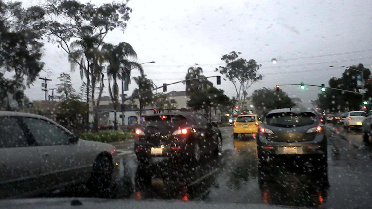
According to the NWS Area Forecast Discussion, residents can expect "widespread showers and isolated thunderstorms tonight into Friday." Rainfall rates could reach a severe 1 inch per hour during the heaviest downpours, notably impacting rush-hour traffic on Friday morning. San Diego River will see significant water level rises on Friday but is not expected to breach its banks.
In preparation for choppy waters, mariners on the coastal waters from San Mateo Point to the Mexican Border and out to 60 nm, including San Clemente Island, are advised to heed the Small Craft Advisory in effect through 2 AM Friday. Swift south winds, gusting at times to 25 knots, could make conditions treacherous for small vessels. Moreover, thunderstorms are more likely to bring heavy rain squalls, per the NWS advisory.
Residents in low-lying and flood-prone locations are advised to stay alert. The Flood Watch entails, "Flooding caused by excessive rainfall continues to be possible," and the NWS warns of potential flooding in a wide scope of areas. The pre-weekend outlook includes clearing skies, but the NWS anticipates a possible return of wet conditions by the end of the subsequent week.


