As the weekend kicks off, Austin locals can bask in the return of sunny skies and mild temperatures. The National Weather Service reports a high of 62 degrees today with light winds shifting directions in the afternoon.
However, the pleasant weather is not set to last. According to an outlook by the National Weather Service, gusty winds and low humidity will set the stage for elevated fire weather conditions across some areas, including the southern Edwards Plateau and Rio Grande, this Saturday afternoon.
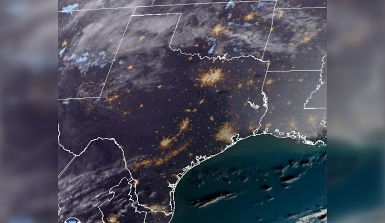
A Fire Danger Statement for portions of the Rio Grande Plains & southern Edwards Plateau is in effect from 1 PM - 7 PM CST Saturday. West to northwest winds of 15 to 25 mph with higher gusts, humidity of 15 to 25% & dry fuels will result in near critical fire weather conditions. pic.twitter.com/y5rICcXP1T
— NWS Austin/San Antonio (@NWSSanAntonio) January 6, 2024
Going into Sunday, locals can expect mostly sunny conditions with highs peaking around 63 degrees. It will get windy, with KXAN noting southeast winds could gust near 20 mph in the afternoon. The risk of hazardous weather persists into the week, with a forecast including thunderstorms and showers starting late Sunday into Monday.
The KXAN weather team anticipates gusts reaching 35 to 45 mph as a cold front passes through Monday night, drying out the air considerably by Tuesday. Amidst this shift, locals should be wary of potential flying debris and, the likelihood of elevated, to critical fire weather conditions.
Mostly sunny skies with some passing high clouds from time to time. Highs in the 60s and low 70s. Rain chances return on Monday with the passage of a strong cold front. Some strong to severe storms possible. Windy conditions in the wake of the front on Mon. and Tue. #txwx pic.twitter.com/zhNh539inB
— NWS Austin/San Antonio (@NWSSanAntonio) January 6, 2024
Rain and storms on Monday present a 60 percent chance of precipitation, though rainfall amounts are predicted to remain modest. As the week progresses, Wednesday morning temperatures are expected to drop to the lower 30s following the front's passage, offering cooler respite after the blustery start to the week.


