Austin is bracing for more than just a bad hair day as dense fog and the threat of thunderstorms continue to loom over the city. Residents are urged to stay vigilant, with hazardous weather conditions expected throughout Wednesday. An official Dense Fog Advisory is in effect until 10 AM for several areas including the Hill Country and Medina County. Motorists are advised to drive with caution as visibility could drop to less than a quarter-mile, according to National Weather Service Dense Fog Advisory.
The weather saga doesn't end there. Thunderstorms, capable of producing strong winds and large hail, are a possibility, particularly along and south of an Eagle Pass to San Antonio to Giddings line. The marvel of today's science gives us a sneak peek into nature's plans, as the Hazardous Weather Outlook lays it out clear: there's a Marginal risk for severe weather to look out for.
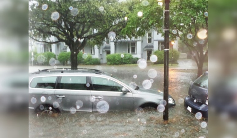
However, it's the waterworks that are causing the biggest stir. Pockets of Central Texas have already been soaked, with the saturated ground raising the alarm for potential flooding. Flash Flood Warning for southeastern Bastrop, southeastern Caldwell, and Fayette counties until Wednesday morning. For those residing in the affected regions, a Flood Watch also remains in effect until noon, as per KVUE.
With the current weather patterns, Austin could expect to see additional rainfall amounts from half an inch to one inch along the I-35 corridor through Wednesday night. Yet hope is on the horizon as drier weather aims to return Thursday. But until then, residents should keep an eye out and definitely keep an umbrella handy as the city readies to weather this storm out.


