Boston bracing for a wintry mix, with the National Weather Service issuing a forecast that signals a mix of rain and snow for the city today. The high for the day is pegged near 37 degrees with light winds picking up, gusting as high as 22 mph - a sure sign that winter isn't ready to release its grip on the region just yet, with a full 100% chance of precipitation and minimal snow accumulation expected, according to the National Weather Service.
The situation isn't looking any better as we head into the nighttime, with snow forecasted to dominate after 4 am, the temperatures are set to hover steadily around 35 degrees while the north-northeast wind howls between 14 and 16 mph, and gusts could reach up to 28 mph, the precipitation chances linger stubbornly at 100%, and Bostonians might see less than an inch of fresh snow on the ground by morning.
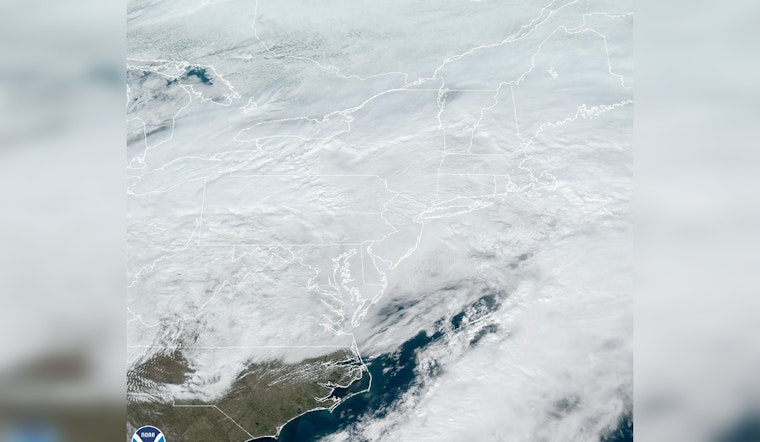
[Winter Storm] Rain & snow develop this morning & continue this afternoon. Accumulating snow focused in the high terrain today, but some is possible elsewhere if precipitation is heavy enough to become all snow. Mainly rain this evening changes back to snow late tonight-Mon. pic.twitter.com/zGqcKDYSYI
— NWS Boston (@NWSBoston) January 28, 2024
Monday continues the cold trend, with snow expected mainly before 1 pm and a high close to 35 degrees, the north wind will be assertive at around 16 mph, with potential gusts blasting as high as 26 mph. The certainty of precipitation remains unchanged at 100%, and new snow may once again lightly dust our city, with less than an inch forecasted to collect.
The probability of snow decreases Monday evening to a 30% chance before 8 pm, the clouds will persist, and Boston is projected to experience a chilly low around 20 degrees, the winds will not give much quarter, keeping up their pace between 13 and 15 mph, and gusts might peak as high as 25 mph according to the weather authorities.
Bostonians can look forward to a break in the weather come Tuesday with partly sunny skies and a high near 27 degrees, though the north-northeast winds will continue to blow between 8 and 10 mph, gusts may reach 18 mph. Tuesday night will see the temperatures dipping again, with mostly cloudy skies and lows settling around 16 degrees.
Wednesday promises a respite with a forecast of mostly sunny skies and a more manageable high near 36, while Wednesday night is expected to be mostly clear with a low around 24. The following days continue the trend of chilly but clearer weather, with Thursday showing highs near 43 and mostly sunny skies, though at night, the clouds return, and temperatures descend to around 30.
[Winter Storm] Rain & snow develop this morning & continue this afternoon. Accumulating snow focused in the high terrain today, but some is possible elsewhere if precipitation is heavy enough to become all snow. Mainly rain this evening changes back to snow late tonight-Mon. pic.twitter.com/zGqcKDYSYI
— NWS Boston (@NWSBoston) January 28, 2024
By the end of the week, Friday introduces the chance for showers with partly sunny conditions and a high near 44, while Friday night might bring snow showers and a low close to 28. Moving into Saturday, Boston could experience a mix of rain and snow showers amidst partly sunny skies and a peak temperature around 39, marking a somewhat turbulent end to a classic New England winter week.


