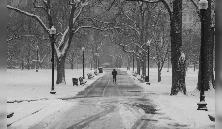
Boston is bracing for an icy spell as temperatures are expected to plummet following a storm system that has just passed. According to Boston 25 News, Wednesday morning will likely see untreated surfaces becoming treacherous due to below-freezing temperatures. Heading into the weekend, the big chill is predicted to tighten its grip, with most towns struggling to break free from the cold's hold.
The National Weather Service predicts today to be sunny with highs barely climbing to 28, while strong winds gusting up to 28 mph add an extra bite to the air. A clear sky tonight gives little comfort as the mercury is expected to drop to around 17 degrees. The forecast for Thursday sees increasing clouds and a high near 30, while the nighttime may bring the temperature down to the low 20s. Bostonians will need to bundle up tightly, as "the worst of the cold will be over the weekend," as per the experts at Boston 25 News.
Attention is also turning towards Friday when a new storm system is expected to make its presence known. According to the National Weather Service, there's a 50 percent chance of snow after 11 am, casting a cloudy veil over the city with highs hovering near 29. The weekend's outlook isn't any brighter, as snow chances persist into Friday night, though with minimal accumulation expected.
Even as the city's residents steel themselves against these frigid conditions, the silver lining seems to be Monday, with forecasts indicating more sun and a more agreeable high near 37. The warming trend could continue into Tuesday with partly sunny skies and temperatures potentially reaching up to 44 degrees, offering a brief respite from the days of deep freeze.


