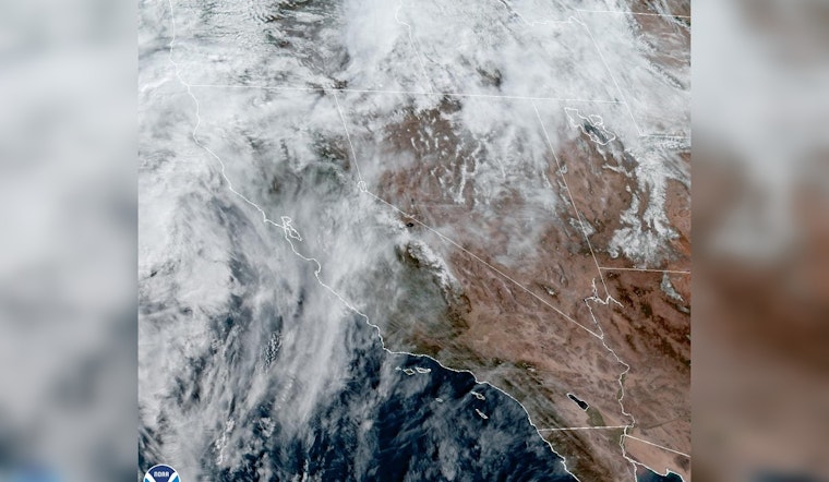
Southern California braces for a blast of Santa Ana winds this weekend, with forecasts predicting gusts hitting as hard as a heavyweight uppercut, up to 65 mph in some areas. According to the National Weather Service San Diego, these winds could be particularly vicious Saturday morning, tearing through valleys and mountain slopes, forcing residents to hold on to their hats.
The NWS advisory highlighted "gusty east to northeast winds are expected through the weekend, peaking later today," so locals can expect the kind of bluster that’ll turn umbrellas inside out and, as if Mother Nature decided we needed another reason to sweat in January, a side of heat with temperatures soaring 6-12 degrees above normal. Although the winds should relent slightly Sunday, they're not clocking out just yet because the gusts are 40-50 MPH, they're sticking around to give us a breezy encore, along with those "locally 55-65 MPH on the coastal mountain slopes and through and below passes and canyons."
Today's observed peak #SantaAnawind gusts across #socal which will lead to above average warm temperatures today due to the upper level ridge in place pic.twitter.com/JwvONj7clH
— NWS San Diego (@NWSSanDiego) January 27, 2024
While you enjoy your picnic with a chance of flying sandwiches, the NWS Forecast Office is peeking into next week, warning us to whip out those jackets again as a "a wetter, windier, and cooler pattern is expected to develop". That's right, from warm and windy to wet and wild, with precipitation starting to make a splash by Wednesday night or early Thursday morning.
The culprit for this wardrobe-whiplash weather? A "strong trough arriving on Wednesday and Thursday," which isn't only pulling temperatures down but could also drag the snow level to about 4000-4500 feet by Friday. If you're cruising through the coastal waters, expect to get a serious swaying as "gusty winds occurring over the coastal waters and the mountains/desert foothills starting sometime late Wednesday into early Thursday," that’s your heads-up to maybe stay ashore, sailor.
But until then, the Wind Advisory stands firm until 4 PM PST Sunday, the NWS warns, with potential consequences ranging from hat-snatching gusts to more severe scenarios like power outages and toppled trees. So batten down the hatches, secure your outdoor belongings, and perhaps anchor yourself to something sturdy.


