The Bay Area is bracing for a series of weather challenges today, as the National Weather Service (NWS) has issued multiple advisories regarding floods, thunderstorms, and heavy wind events. Coastal regions and several urban areas are on alert as the predicted storms are set to bring periods of moderate to heavy rain, followed by increasing thunderstorm activity through this afternoon and evening. The NWS Bay Area's X post announced an extended flood advisory in effect until 4 PM PST, signaling minor impacts that are already taking place early this morning.
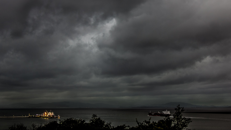
Flood Advisory Now in Effect until 4 PM PST This Afternoon. #CAwx pic.twitter.com/0EE0GQ8ARM
— NWS Bay Area 🌉 (@NWSBayArea) February 19, 2024
Concerns for safety are particularly acute as SW-NE oriented rain bands have been persistent across key regions including North Bay and the Santa Cruz Mountains, which are seeing rises in creeks and streams alongside reports of roadway flooding. The local weather authorities have been gearing up for "a heavy/convective rain band setting up across the Bay Area later this morning," according to the Area Forecast Discussion by the National Weather Service San Francisco CA. If these convective bands were to stall, the region could face even more serious flooding.
In addition to the flood advisories, the NWS has flagged the potential for thunderstorms, particularly in the North Bay and interior East Bay areas, which could bring gusty winds and hail with them. "A few stronger storms are likely," the NWS cautioned, mentioning the small but real possibility of tornadoes. The public are urged to stay weather aware and have multiple channels to receive alerts throughout the day.
Outside of the immediate storm activity, the Bay faces longer-term weather advisories. The ongoing high surf advisory, in effect through 4 AM Tuesday, warns of breaking waves reaching heights of 18 to 22 feet, with the potential to rise up to 28 feet in certain areas. Beachgoers have been advised to exercise extreme caution, as strong southerly winds may compound the risks associated with high surf.
The hydrological impact of the storms is also a growing concern. A flood watch is active from Sunday morning through Wednesday. "Excessive runoff may result in flooding of rivers, creeks, streams, and other low-lying and flood-prone locations," the weather service's hydrology section stated. With soil moisture already high from previous storms, the Bay Area's waterways might approach or exceed flood levels, putting both urban and rural areas at risk of inundation.
Travel in the Bay Area is likely to be heavily affected, with the NWS advising caution for both air and sea transport. Aviation forecasts suggest bumpy conditions, with possible thunderstorms leading to VFR disruptions. Mariners are warned to expect gale-force conditions, rain, and the chance of thunderstorms through today. Calmer weather is anticipated to return by mid-week with the cessation of the storm system.


