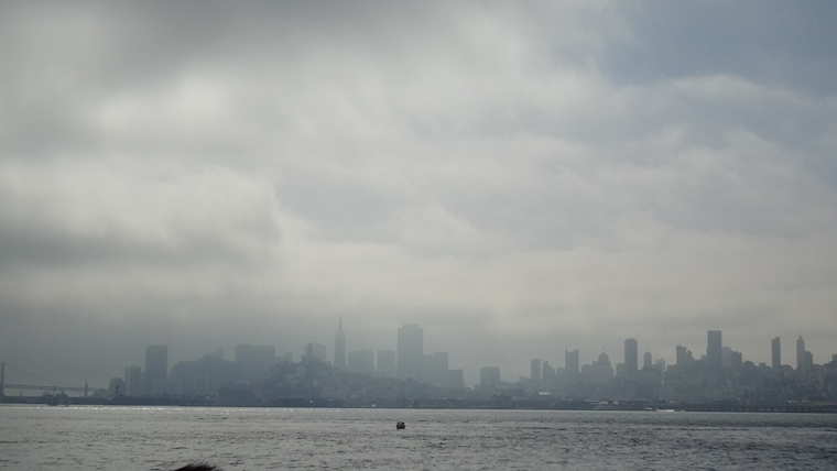
The Bay Area is bracing for a barrage of severe weather conditions, as a series of powerful storms are poised to pummel the region with heavy rains and potent winds, according to the National Weather Service. Residents have been warned to prepare for flooding of streams, creeks, and low-lying areas as the soil, already saturated from previous downpours, is expected to see further precipitation. The National Weather Service Bay Area forecast anticipates "periods of moderate to sometimes heavy rain" continuing into Monday, with the potential for flash flooding.
Among the biggest weather concerns for today and Monday is heavy rainfall. Soils are saturated and periods of moderate to sometimes heavy rain are expected. Flooding of streams, creeks, and low-lying areas is likely, with flash flooding possible. Stay weather aware! #cawx pic.twitter.com/FgCPK7bFnV
— NWS Bay Area 🌉 (@NWSBayArea) February 18, 2024
Conditions are set to deteriorate through Sunday into the night as the storm, which is currently stationed about 800 miles west of San Francisco, moves northeast at 20-25 mph. Satellite images have captured intense lightning activity, winds of up to 60 mph, and seas churning at heights of up to 30 feet caused by the approaching system. The National Weather Service San Francisco CA forecasted, "Rain will begin around mid-day and will be heavy through the night," indicating a high likelihood of moderate to major impacts from unrelenting rain and gusty conditions. A Flood Watch is in effect from 10 AM Sunday through Wednesday morning, with heightened concerns for urban and small stream flooding.
Alongside the torrential rain, strong southerly winds are anticipated to peak late Sunday afternoon or early evening, with gusts expected to surge between 30 to 45 mph. These factors combined increase the risks of downed trees, power outages, and shallow landslides as confirmed in the Area Forecast Discussion. The incoming maelstrom not only signifies a bombardment from the sky but an upheaval from beneath, as the waterlogged earth yields potentially to nature’s growing burden.
For those drawn to the coastline, a High Surf Advisory has been issued through early Tuesday, signaling hazardous conditions for beaches. The advisory warns of "Large breaking waves of 18 to 22 feet along exposed, west-facing beaches," and notes that breaks can reach up to 28 feet in areas with steep beaches. Inexperienced swimmers are advised to avoid entering the turbulent waters, as the mix of powerful waves and strong southerly winds creates precarious conditions for those venturing near the surf.
Looking beyond Sunday’s tempest, Monday threatens another round of aggressive weather. Although the following low-pressure system is expected to be weaker, its proximity to the coast promises a continuation of the fierce southerly winds. Scattered showers and potential thunderstorms add to the possibility of severe winds or even an isolated tornado, particularly in the East Bay regions. The storm’s passage into Tuesday will leave the Bay Area to contend with residual showers and the aftereffects of what has swept through, a stern reminder of nature's relentless force that elicits cautious respect from all who dwell along these temperamental shores.


_(2).jpg)