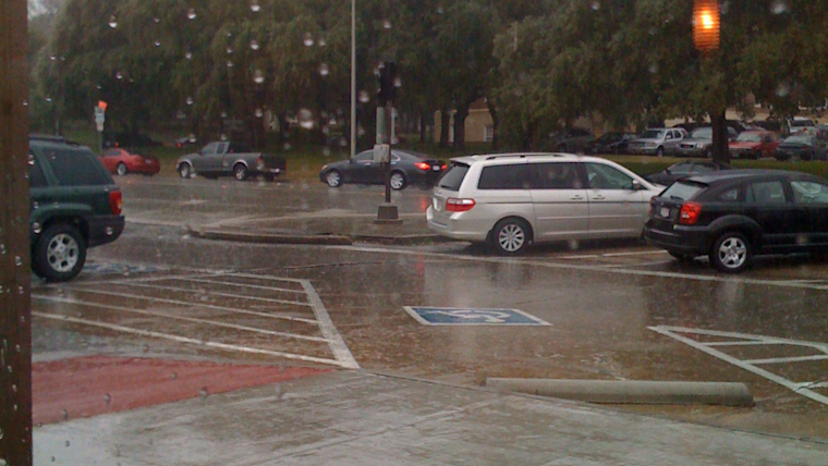
Dallas residents faced a dreary day today, with rainfall expected to last through the early part of the afternoon followed by more rain chances into the evening. According to the National Weather Service, showers and possibly a thunderstorm were forecast before 1 p.m., then a likelihood of showers and thunderstorms between 1 p.m. and 4 p.m., and again a chance of showers after 4 p.m. The high for today was pegged near 56 degrees with northeast winds shifting northwest in the afternoon, potentially gusting as high as 20 mph. An 80% chance of precipitation came with a warning of new rainfall amounts between one-half and three-quarters of an inch possible. Patchy fog before 4 p.m. also reduced visibility for drivers.
Heading into the night, Dallas will not be getting much relief from the wet weather. "A 40 percent chance of showers, mainly between 1 a.m. and 4 a.m.," was reported by the National Weather Service. Overnight, temperatures are expected to dip to around 40 degrees with west-northwest winds reaching 10 to 20 mph, and gusts possibly hitting the 30 mph mark.
The outlook for early this week showed some improvement. Monday was expected to see a 20 percent chance of showers before 7 a.m., followed by gradual clearing and a high near 54. The winds should remain blustery, however, with northwest gusts as high as 35 mph. Monday night looked to bring calmer conditions, with mostly clear skies and a low temperature of around 35 degrees.
Midweek forecasts promised a respite from the stormy start. Sunshine and milder temps will welcome Dallas residents on Tuesday, with a high near 62, and the benign conditions anticipated to extend through to Thursday securing a high near 71. However, the dry spell may be short-lived as Friday threatens a 40 percent chance of showers again.
For those facing the worst of today's weather, the Hazardous Weather Outlook offered a stark warning for early Sunday morning. "Thunderstorms will continue to move across North and Central Texas early this morning. A few severe storms with large hail and strong wind gusts are expected with the greatest severe threat south of I-20," the National Weather Service advised. Heavy rain potentially leads to minor urban and river flooding especially east of I-35 and south of I-20. Heading into the evening, the service also highlighted the possibility of snow across western North Texas, though travel impacts were not expected.
The coming days are forecast to bring calm after the storm, with "No hazardous weather is expected at this time" from Monday through Saturday, possibly providing a welcomed break for the region's residents and emergency services.


