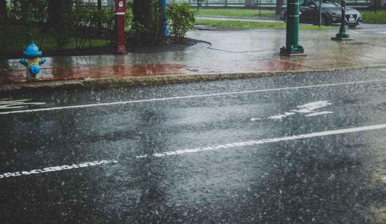
Bostonians should brace themselves for a wet and potentially flood-risky week, as forecasts predict heavy rainfall across the region. According to the National Weather Service, the city is facing a steady tempo of rain starting this afternoon, with a strong chance of precipitation at 80%. This damp pattern is expected to continue with an increase in intensity, especially as night falls.
The upcoming downpour, coupled with winds reaching gusts as high as 33 mph, is escalating flood concerns. Rivers and streams, already swollen with recent rainfall, are at risk of overflowing. As stated by NBC Boston, "This could cause some small streams to overflow and lead to localized flooding since much of it will fall in a few short hours." The combination of steady rain today and a more significant storm on Wednesday night could make for a precarious situation.
Wednesday brings a slight respite before the storm system reaches full force. It offers a mild tease of what's to come with temperatures potentially exceeding 60 degrees away from the coast. But by afternoon, the city will see showers moving in from the south, threatening to drench the streets once more.
Forecasters expect the most considerable impact late Wednesday and into Thursday, as Boston faces a wall of rain driven by tropical water vapor. Coastal communities are on alert for powerful gusts, with some reaching near 50 miles per hour, according to the NBC Boston report. The residual warmth of Wednesday's break will be washed away, as temperatures plummet back into mid-40s.
A moment of calm is expected on Friday and for most of Saturday, giving locals a break from the relentless downpours. However, another bout of rain is forecasted to hit on Sunday, poised to further saturate the already waterlogged cityscape. All eyes will be on the sky and the streets below, as Boston navigates through the deluge and the potential disruptions it may bring.


