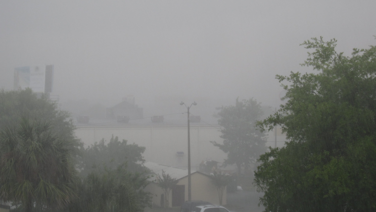
Southern California is bracing for a stormy weekend as the National Weather Service in San Diego forecasts periods of rain, mountain snow, and gusty westerly winds through Sunday night. San Diego County should particularly prepare for the brunt of the storm, with the heaviest rainfall anticipated in the region. According to an NWS advisory, coastal and valley areas in San Diego could see near 1 inch of rain, while coastal slopes might get doused with 1-2 inches.
Moreover, the winds won't be left behind, as areas in the mountains and deserts are expected to experience strong gusts up to 60 to 70 mph, with coastal regions not far off at around 40 mph, especially come Sunday. As the forecast from the National Weather Service paints a picture of the turbulent weekend ahead, travelers are advised to proceed with caution. They recommend bringing chains and allowing extra time to reach destinations, especially considering the snow level which will dip significantly from 6500-7000 feet early Saturday to around 4500 feet by Sunday morning.
For those hitting the slopes, this translates to less than 3 inches of snow expected below 5000 feet but significantly more at higher elevations: 2 to 6 inches from 5000 to 6000 feet and a whopping 6 to 12 inches from 6000 to 7000 feet, the NWS advises. With locally 12 to 18 inches anticipated above 7000 feet, skiers might be in for some of the best powder of the season, albeit with challenging travel conditions.
The NWS discussion points toward a quick succession of weather systems, notifying that the wet and windy conditions might persist into the upcoming week, though Wednesday could offer a short-lived reprieve with dry and warmer weather. The report also raises a flag for possible thunderstorms "with the greatest chances in San Diego County," noting the instability increases overnight into Sunday. With a slight cold snap, snow levels could even drop to a chilly 4000 feet in the San Bernardino Mountains early Sunday.
When looking toward the ocean, it’s rough waters ahead. The marine forecast predicts strong northwest winds later Saturday, prompting advisories and watches for small craft and potential gales through Sunday evening, with seas projected to reach heights between 9-17 feet. Meanwhile, beachgoers should exercise caution as high surf conditions are expected with 4-7 foot swells, peaking at 8-10 feet Sunday night in San Diego County, per NWS reports. High Surf Advisories and Beach Hazards Statements have been hoisted for the potential seaside tumult.
In terms of totals, "rainfall is expected to range from one-half to three-quarters of an inch near the coast, up to 1.25 inch in the valleys, and 1.5 to 2.50 inches in the mountains," according to the area forecast discussion. Snowfall across the San Bernardino and Riverside County Mountains could pile up to 18 inches at the highest elevations, with San Diego’s mountains not far behind. The NWS encourages spotters to report significant weather conditions as they occur.


