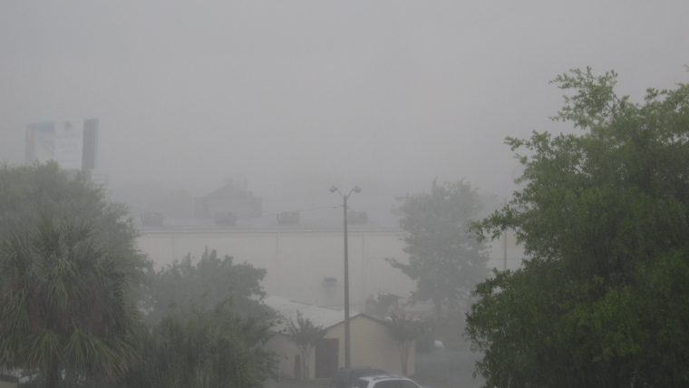
San Diegans should brace for a significant weather shift this weekend as a Pacific storm is set to usher in widespread precipitation and possibly disruptive mountain snow, the National Weather Service San Diego reported. Cooling today and Friday is expected, bringing temperatures several degrees down, particularly in the mountains where they could drop 20 to 25 degrees below average for elevations above 6000 feet.
The agency warned of the potential for "gusty southwest to west winds" in the mountains and deserts this afternoon into Friday evening, with gusts possibly to forcefully reach 45 to 55 mph. A marked cooldown will spread inland with these winds, leading to high temperatures on Saturday that are several degrees cooler than Friday.
Rain and mountain snow are anticipated to begin as early as Friday night, becoming most severe and widespread through Saturday and into early Sunday afternoon. Coastal areas could see around 1.5 inches of rainfall by Monday, while mountain areas may receive between 2 to 3 inches, and even as much as 5 inches on the south slopes of the San Bernardino County mountains. The deserts, including the Apple and Lucerne Valleys, might get one-half to one inch of rain, with the lower deserts expecting a quarter to a half-inch, NWS San Diego stated.
The forecast also includes significant snowfall, with San Bernardino and Riverside County mountains expecting anywhere from 1 to 36 inches, dependent on the elevation. Meanwhile, in San Diego County, snow accumulation could range from 2 to 8 inches in areas above 5000 feet, particularly on Saturday night and Sunday. "Widespread moderate to locally heavy snowfall" is predicted by the Area Forecast Discussion, with snow levels to rise to 5500 to 6000 feet early Saturday before dropping to around 4500 feet by night.
Motorists are advised to exercise caution as the San Diego River at Fashion Valley is expected to rise, though staying below the low-water crossings during the weekend, according to the NWS. With continued precipitation through Sunday, there is a potential for these crossings to flood. Coastal waters and areas may also experience strong south winds with gusts near 35 to 40 mph ahead of the cold front. Even though there's a slight chance of thunderstorms from Saturday night through Sunday, no hazardous marine conditions are expected through Friday.


