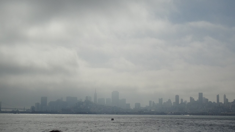
The stormy weekend sweep continues across the San Francisco Bay Area, with the National Weather Service San Francisco CA anticipating widespread rain and robust winds throughout the day, while scattered showers and the chance for storms will persist into the night, the NWS of San Francisco has issued a synopsis, stating, "The main rain band is moving inland along the cold front, bringing moderate rainfall," and adding on that, "Storm chances will peak around 30% into this evening and into the early night."
NWS San Francisco CA also notes a quick shift to drier weather is expected on Sunday, followed by a warming trend the coming week with coastal highs in the 60s and 80s more inland, but the weather system has left its mark as widespread showers move inland bringing light to moderate rainfall and gusty southwest winds, these will continue through most of the TAF period with winds peaking during the afternoon hours. SFO Bridge Approach and Monterey Bay Terminals are also experiencing similar weather patterns with moderately gusty S to SW winds set to continue for the majority of the forecast period.
The NWS forecast discussion elaborated on the aviation impact with scattered precipitation and an increased chance of thunderstorms primarily over the coastal waters, stating, "Thunderstorm potential increases to 25 to 30% Saturday afternoon and evening with chances decreasing overnight into Sunday morning," with particular attention to the areas off the coast of Santa Cruz County and the Monterey Bay for highest storm potential.
Meanwhile, an evening update from NWS Bay Area's X page highlights ongoing shower activity over coastal waters and notes that despite radar limitations, rainfall is indeed affecting regions such as the North Bay which have recorded at least a few hundredths of rain; this serves as a reminder that while the technological eyes may sometimes falter the eager drops do not hesitate to make their presence known on the ground, confirming the continued damp spell.
📡Radar Update 8 PM - KMUX radar picking up more shower activity over the coastal waters. It may not show it on radar (radar beam is overshooting precip), but it is raining in the North Bay. A few sites have tipped a few hundredths. #cawx pic.twitter.com/wkMWk7GwHh
— NWS Bay Area 🌉 (@NWSBayArea) April 13, 2024
Boaters should exercise caution as the Small Craft Advisory remains in effect until Sunday across various zones, including the San Francisco Bay north of the Bay Bridge and the Monterey Bay area due to "Breezy fresh to strong winds," as well as accumulating northwesterly swell, those hitting the water this weekend should brace for challenging conditions until the environment temperates in the coming week as predicted by the NWS.


