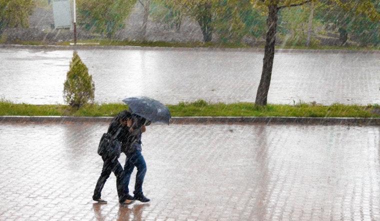
D.C. residents should brace for a soggy couple of days, with the National Weather Service forecasting scattered showers today before 9am followed by potential thunderstorms on tomorrow night. Today's overcast skies with highs up to 76 will transition into a rainy stretch, including a 90% chance of showers after 3pm tomorrow, as a warm front passes through South with winds gusting as high as 28 mph.
A Coastal Flood Advisory is in place for parts of the District until noon today due to tidal flooding that's predicted to cause up to one foot of water inundation in low-lying areas. The flood risk is particularly high around the time of high tide, which is expected to hit the Washington Channel at 9:51 AM. Residents, beware of shoreline inundation along the seawall adjacent to Ohio Drive, the Hains Point Loop Road, and near the Tidal Basin and Jefferson Memorial.
The incoming storm system will bring not just rain but also blustery conditions, with the forecast from Friday to Sunday indicating a persistent breeze. Friday will potentially see showers in the morning, but skies will mostly clear up for a sunny afternoon with highs around 68 degrees, though a strong southwest wind may reach gusts of up to 36 mph. What's more, the weekend will warm up considerably with highs reaching near 78 on Sunday and climbing to 80 by Monday.
Preparation is key as the D.C. region deals with the flooding and rain. The National Weather Service has already warned that travel may become problematic, telling residents that if travel is required, "allow extra time as some roads may be closed. Do not drive around barricades or through water of unknown depth. Take the necessary actions to protect flood-prone property." With the weather shifting so suddenly, from gentle spring breezes to strong gusts and downpours, Washingtonians will need to stay vigilant about local road conditions and weather updates.


