Inland parts of the Bay Area are gearing up for a scorcher today, with a Heat Advisory in effect from 11 a.m. to 8 p.m., the National Weather Service Bay Area warns. Temperatures are slated to hit the mid to upper 90s, while some areas might see the mercury soar into the low 100s. In contrast, coastal regions will enjoy a much cooler climate, with expected highs in the upper 60s to low 50s.
Despite the heat, coastal areas will benefit from some natural air conditioning, keeping things cool with temperatures in the mid to upper 60s. Moving inland, however, will be a different story. Here, populations sensitive to heat—including the ill, young, pregnant, and elderly—will face the greatest risks, especially those lacking access to adequate cooling or hydration. "For anyone participating in outdoors activities today, remember to drink plenty of water and to take plenty of breaks in a cool/shaded area", the NWS advised in their Area Forecast Discussion.
This trend of elevated temperatures will continue, albeit slightly abated, into Wednesday, with the NWS forecasting mid-80s to low 90s inland, and some spots could potentially hit the upper 90s. The Area Forecast Discussion also cautions "Gustier, drier conditions look possible this weekend," urging the public to be vigilant with fire sources to prevent potential wildfires.
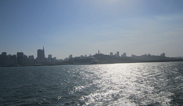
Mariners are not spared from nature's forces either, as strong northwest winds persist over the outer waters, prompting Gale Warnings and Small Craft Advisories. Through early Wednesday, gale-force gusts are expected, especially over the northern outer waters, with significant wave heights potentially reaching 13 to 15 feet, before subsiding in the afternoon. "Significant wave heights will mostly be dominated by wind driven waves," the Area Forecast Discussion highlighted.


