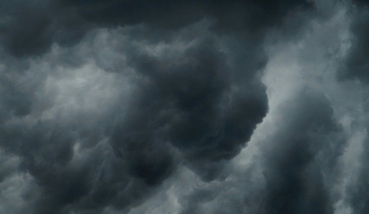
Austin residents will experience a slight chance of showers with a 30% probability, followed by potential thunderstorms later in the day, according to the National Weather Service. After this wet introduction, the skies are expected to clear with temperatures soaring to a high near 91 degrees, and the heat index pushing the threshold at 103. The once-light south-southeast wind is likely to gain strength in the afternoon, reaching speeds of 5 to 10 mph and gusts that may brush past 20 mph, as mentioned in today's weather forecast.
Adding to this, KXAN has reported a Marginal flood threat in the Austin area, with measurable rainfall expected to average a few hundredths to a quarter of an inch, although some localities south and east could receive upwards of an inch. Tonight, the weather narrative continues with increasing clouds and lows hovering around 76 degrees. Monday’s forecast assures a mostly cloudy start, clearing up to a sizzling high near 95 with the heat index, peaking even higher at up to 107.
The high temperatures are partly due to an upper-level high-pressure system that has been broiling the western United States and is predicted to drift over Texas tomorrow. According to KXAN's weather forecasts, the heat will intensify with highs ranging from 93° to 97° in the coming average, escalating to the mid-upper 90s on Tuesday and touching the 100-degree mark by Saturday.
Moreover, the scorching days ahead will bring the heat index into play, with the highest readings from Monday slated to hit between 104° and 108°. Furthermore, Austin's air quality will fluctuate as the Saharan dust layer makes its way over the region, spanning from Tuesday night till Thursday afternoon, contributing to a slight haze and potential impact on outdoor visibility and respiratory conditions. Amidst this heated shift, Lake Travis has reported a slight increase, now at 641.75 feet - being 48% full, as informed by KXAN, constituting more than a 7.5-foot rise over the past seven days.


