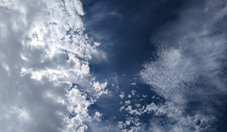
As the last day of calm skies hangs over Las Vegas, residents prepare for a shift in weather patterns, with monsoonal moisture on the horizon. According to the National Weather Service Las Vegas, "Ridging will begin to build over the region today, opening the door for the return of monsoonal moisture during the second half of the week." This transition is slated to usher in isolated to scattered showers and thunderstorms starting tomorrow, with coverage expanding throughout the region over the weekend.
The upcoming disturbance, a ridge slowly taking control, promises to not only bring precipitation but also a rise in temperatures. Today's forecasted highs are slightly warmer, with an increase ranging from 1-3 degrees, and conditions are predicted to remain clear, with light winds. Wildfires previously contributing to the smoke in the region, specifically the Nixon Fire and the Borel Fire, have shown reduced activity. The National Weather Service forecasts that any smoke produced should mainly drift over San Bernardino, Inyo, Nye, and Esmeralda counties.
Turning attention to the extended forecast, the moist influx set to begin tonight indicates a more pronounced shift, poised to substantially to alter the usual desert landscape. As described in the weather synopsis, a closed low circulating over northwest Mexico is expected to move toward southeast California, bringing with it a moisture surge and the potential for heavier shower activity. The detailed forecast for Sunday through Tuesday suggests a more typical monsoon pattern, with afternoon and evening thunderstorms developing over the higher terrain before venturing into the valleys.
The influence of moisture will be a defining factor in temperatures towards the end of the week. tomorrow and Friday could see variations depending on the extent of cloud cover and prevailing showers or thunderstorms. However, over the weekend and into next week, the forecast signals "highs consistently between 110-115 degrees" in lower deserts along the Colorado River Valley, with Death Valley National Park temperatures cycling near 120 degrees. The breakdown of the HeatRisk, provided by the National Weather Service, varies with "Moderate" to "Extreme" categories in areas across Clark, Mohave, Nye, Inyo, and San Bernardino Counties.
For aviation interests, Harry Reid's winds will remain predominantly light and driven by diurnal variations, with a low chance for disruptive outflow winds from storms further off in southwest Arizona. The broader Southern Nevada, northwest Arizona, and southeast California areas can expect similar wind conditions, with an exception for gusts in KBIH this afternoon. Apart from impact by smoke, no operationally significant cloud cover should be present through the afternoon. However, the forecast anticipates possible outflow winds affecting the lower Colorado River Valley by late evening. Spotters within the region are encouraged to report any significant weather or impacts as conditions develop.


