Las Vegas, brace yourselves for another round of monsoonal showers and thunderstorms that are expected to drench the higher terrain and sweep through valley terminals with gusty winds and potentially heavy rainfall, according to a report by the National Weather Service Las Vegas NV. As this humid pattern persists, temperatures are forecast to soar higher than normal under the dominating ridge system.
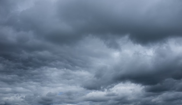
In the wee hours of this balmy morning, while some might have caught those isolated showers tapering off across the regions of western Clark, southern Nye, southeast Inyo, and San Bernardino counties, the weather service anticipates a continuation of akin weather phenomena for Wednesday. As per NWS, “Storms will fire over the higher terrain by noon,” they say, with the likelihood of “showers and thunderstorms will then continue into the early morning hours before dissipating.” With precipitable water values ranging from 150%-200% of normal, the scenario is ripe for heavy rain and the risk of flash flooding.
However, there's a silver lining on the horizon for those weary of muggy nights and scalding days. A traversing trough promises reprieve, projected to push away the monsoonal moisture and break the spell of the extreme heat by Friday. The weekend should usher in a return to more seasonal temperatures along with drier conditions, offering a fleeting respite from the recent persistent storms.
Aviators should anticipate a semblance of déjà vu in their forecasts, as the pattern mirrors that of the past couple of days. The National Weather Service Las Vegas NV advises that “Best shot for valley terminals to be impacted by gusty outflow winds and thunderstorms would be between 22Z this afternoon and 07Z this evening.” Moreover, terminals across southern Nevada, northwest Arizona, and southeast California should remain vigilant for possible impacts by gusty winds of up to 40 to 60 mph, not discounting the chance of heavy rain and hail.


