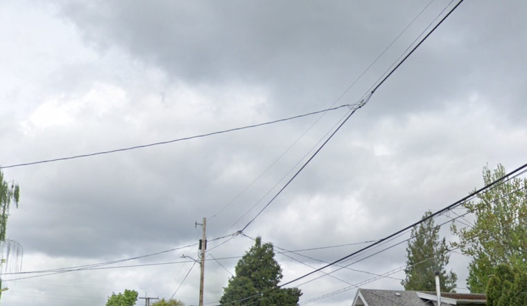
The city of Portland is set to experience its fair share of the wet and the warm this week. With the National Weather Service Portland office forecasting a likelihood of rain today, mainly between the morning and noon, residents can expect somewhat gray skies and occasional drizzles. According to the NWS update, there's a 60 percent chance of precipitation with less than a tenth of an inch expected.
Tonight's forecast maintains a 40 percent chance of showers before retiring at 11 p.m., with a low temperature hovering around 63 degrees. The wind, taking a breather, will make a calm transition to a south southeast direction at approx 5 mph, with a mistaken umbrella likely to stay open, as necessary protection from the anticipated rain.
Moving in tomorrow, the clouds will begin to disperse, making way for mostly sunny skies and a high of 78 degrees as posted by the NWS detailed forecast. The mild temperatures are a comfortable promise, serving as a precursor to the heated days ahead.
Tomorrow night's partly cloudy skies will escort in a low of around 62 degrees, with the north wind, blowing 5 to 9 mph, settle into a calming lull by the evening. The north wind, playing coy, will not quite commit to a direction, suggesting a gentle shift by the end of the evening. By Wednesday, the sun will claim the sky almost entirely, driving temperatures up to a cozy high near 85 degrees.
The warming trend continues through the week, with Thursday and Friday projected to push temperatures into the mid-90s. The evening sky throughout this period remains mostly clear, with lows in the mid-60s, perfect for those late evening strolls. As the weekend approaches, Portlanders can anticipate mostly sunny days with highs persisting in the low to mid-90s and the constant of clear night skies—a pattern seemingly setting in for the long haul. Sunday rounds out the forecast with sunny dominance and a high near 92 degrees.


