The city of Austin can anticipate a reprieve from the searing triple-digit heat this week, as meteorologists forecast cooler temperatures accompanied by increased opportunities for rainfall. The shift in weather patterns, attributed to a Gulf-originating low pressure system and an approaching cold front, could culminate in scattered storms offering a modest respite from the sustained heatwave.
According to the National Weather Service, today might see a 50 percent likelihood of showers and thunderstorms, chiefly post-1pm, with the temperature cresting near 93°F. The evening stands to contend with a diminished threat of precipitation, tapering off to a 30 percent chance before the clock strikes 10pm.
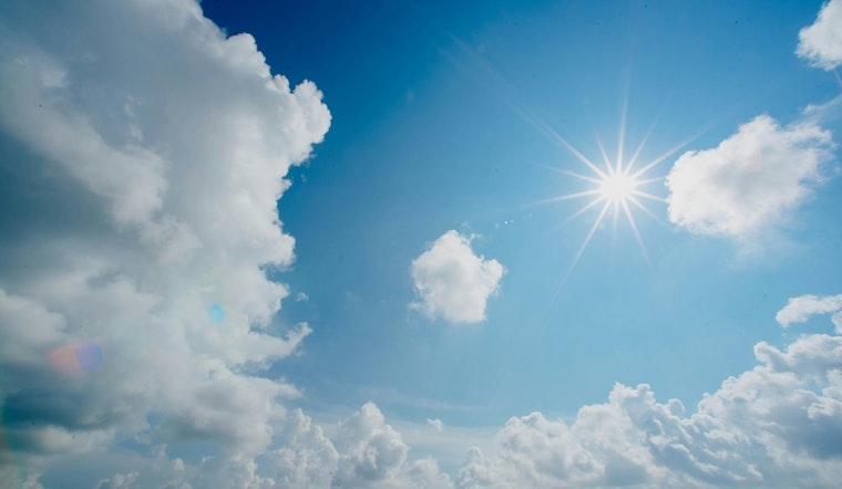
Temperatures are slated to hover just shy of the century mark throughout the week. As stated by KXAN, "The cloud cover and daily rain chances will keep high temperatures below 100° all week." These conditions are expected to endure into the coming weekend with an anticipated cold front that could enhance the probability of showers.
Midweek will likely grace residents with a short-lived dip in rain probability before storms become more probable over the weekend. While the region is set to receive varying amounts of rainfall, some spots might collect a swift quarter to a half inch. In a land often thirsting under a relentless sun, the sky offers not only shade but also sustenance.
While the Atlantic Basin remains tranquil for the time being, with no tropical development forecasted in the next week, meteorologists are eyeing the peak of hurricane season on September 10th with an expectation for increased activity. Austinites, for now, can focus on the immediate respite nature has decided to bestow in the form of cooler breezes and rain's sporadic dance on scorched rooftops.


