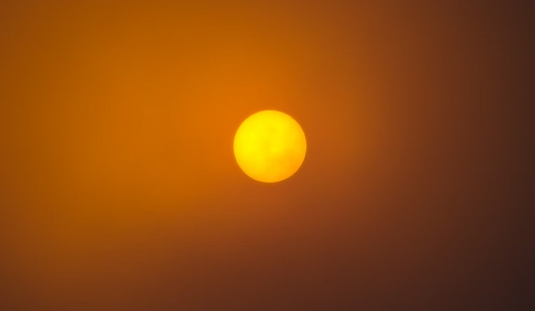
Charlotte residents are looking at a sweltering day ahead with an expected high near 96 degrees and heat index values soaring up to 102 degrees, according to the latest forecasts. The National Weather Service in Charlotte, in its latest update, reported calm winds this morning but the region should brace for hot temperatures throughout the day.
Tonight, the skies in Charlotte will offer a slight reprieve with a 20 percent chance of showers and thunderstorms anticipated before 9pm. Temperatures are set to drop to a low around 73 degrees as the light winds continue. Moving into Friday, the weather sees a slight chance of showers with the day starting in patchy fog before 9 am and transitioning to a high near 93 degrees. The calming winds are predicted to pick up slightly, blowing from the south at around 5 mph in the afternoon.
The North Carolina Department of Environmental Quality has issued a Code Orange Air Quality Alert for Mecklenburg and Cabarrus counties. This Alert, effective from 10 AM to 8 PM EDT, warns that Ground Level Ozone concentrations could approach or exceed unhealthy standards for sensitive groups. Residents are encouraged to visit the North Carolina Division of Air Quality Web site for more information and safety precautions.
Looking toward the weekend, Saturday holds a 30 percent chance of showers and thunderstorms with a high near 91 degrees. The weather for Sunday suggests a similar pattern with mostly sunny conditions giving way to a 30 percent chance of showers and thunderstorms after 3pm. For Labor Day, the forecast remains consistently unpredictable, a mostly sunny start with a 30 percent chance of afternoon showers and thunderstorms
The National Weather Service, in their Hazardous Weather Outlook for the region, has also put residents on alert for isolated to scattered thunderstorms later this afternoon and early evening.


