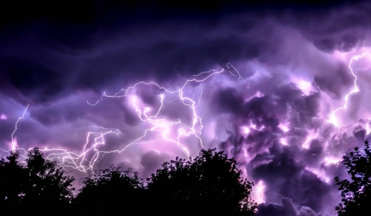
Charlotte residents can expect a series of unsettled weather conditions starting today, as outlined by the National Weather Service (NWS) in Charlotte, North Carolina. The forecast indicates a 70% chance of precipitation today, with potential showers and thunderstorms slated to begin early this afternoon. This gloomy weather comes alongside an overcast sky and northeast winds gusting up to 21 mph. According to the NWS, residents should also anticipate new rainfall amounts between a tenth and a quarter of an inch, with higher amounts possible during thunderstorms.
Into the night, Charlotte will continue to see chances of showers with the possibility of patchy fog developing. Northeast winds persisting between 9 and 11 mph, with gusts possibly reaching 20 mph, will complement overnight lows around 72 degrees. Looking forward to Wednesday, the area could experience more showers and possible thunderstorms after 10 am, with the NWS forecasting a 40% chance of precipitation and new rainfall amounts of less than a tenth of an inch, albeit more in thunderstorms.
The National Weather Service Greenville-Spartanburg SC has also released a Hazardous Weather Outlook. No immediate threats are expected for today and tonight, but there's a marked change on the horizon. The outlook forecasts that Tropical Cyclone Debby is expected to impact the western Carolinas later this week, particularly around Thursday and Friday. Residents must pay attention as the storm's trajectory will be a significant factor in determining flood risks.
The NWS has stressed that areas east of I-77 might face the highest threat of flooding rain, with an increased risk for heavy rain and flooding due to the tropical cyclone.


