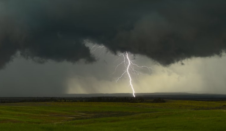
Folks in Charlotte and the surrounding areas might want to keep umbrellas close and prepare for potential disruptions early next week as Tropical Storm Debby approaches, according to a National Weather Service advisory. As of now, the weather outlook suggests isolated to scattered thunderstorms may develop over the area this afternoon and evening, bearing risks such as cloud-to-ground lightning and heavy downpours that could douse the region.
The NWS update, which was last revised early this morning, pinpoints the main threats for today and tonight, yet it's Tropical Storm Debby's trajectory that holds the attention of meteorologists and local residents alike, with its potential to impact the western Carolinas and northeast Georgia early this week. Although the storm's exact path still hangs in the balance, its influence on the area will hinge heavily on the track it carves out as it drifts northward.
Today's weather is pegged at a 40 percent chance of showers and thunderstorms after 1pm, with new rainfall amounts generally expected to be modest, except where storms brew more intensely. The forecast for tonight includes a 30 percent chance of showers and thunderstorms before 10pm, followed by a mostly cloudy sky and lows hovering around 72 degrees Fahrenheit, the wind calming later in the evening.
Looking ahead, tomorrow shows a 40 percent chance of showers and thunderstorms in the afternoon, while Tuesday could see the likelihood of precipitation jump to 60 percent as showers and potential thunderstorms are forecasted post-10am. As Debby looms closer, local updates are paramount; residents should stay tuned to hurricanes.gov for the latest developments on the storm over the next couple of days.


