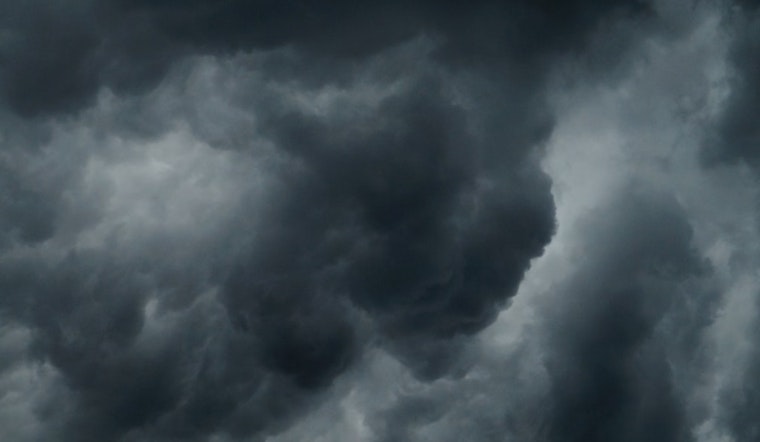
Residents in the District of Columbia are being cautioned to prepare for a mix of hazardous weather conditions today and into the week, as the National Weather Service has issued a series of advisories warning of potential thunderstorms, flash flooding, and coastal flooding. The National Weather Service's latest forecast predicts a 60% chance of showers and possible thunderstorms today, with new rainfall amounting to a quarter and half an inch possible, and a high near 86 degrees.
As overcast skies loom with 82% humidity, D.C. residents can expect scattered severe weather tomorrow, with a 90% chance of more showers and thunderstorms. These conditions raise concerns, as isolated damaging wind gusts and flash flooding are possible this afternoon into the evening, as per the advisory. Tomorrow night won't offer much relief either, with an 80% chance of precipitation, though a brief respite with mostly sunny skies is expected on Tuesday.
The hazardous weather outlook extends beyond just rain and thunderstorms—a Coastal Flood Advisory is in effect until 9 AM today. According to the National Weather Service, low-lying areas along the District's shoreline may experience up to half a foot of inundation above ground level due to tidal flooding. Shoreline inundation is expected along portions of the seawall adjacent to Ohio Drive, the Hains Point Loop Road, and near the Tidal Basin and Jefferson Memorial.
While spotter activation is not anticipated at this time, local authorities advise against bypassing barricades or attempting to traverse water of unknown depth. Residents and visitors should stay informed about the latest weather updates and take appropriate action to protect themselves and their properties against sudden surges. If travel is necessary, allow extra time as some roads may be closed, and it is recommended to heed local flood warnings. The next high tide at Washington Channel is at 6:27 AM, which could contribute to shoreline waters rising half a foot to one foot above normal.


