As the trade winds continue to breeze through the Hawaiian islands, residents and visitors alike can anticipate a consistent pattern of passing showers, particularly in the windward areas. According to the National Weather Service's Honolulu Forecast, a high-pressure system stationed far north is the driving force behind the locally breezy conditions this week. Showery low cloud clusters that are swiftly moving through the area are likely to bring frequent yet brief rainfall.
The forecast discussion from the NWS details that "Persistent surface high pressure far N of the islands will support locally breezy trade winds for the foreseeable future." In conjunction with this system, a trough forming just north of the islands is expected to result in some mid-level atmospheric cooling in the coming days. However, this phenomenon is not anticipated to significantly alter the trade wind-driven weather pattern, which includes increased cloud development and the probability of showers due to the cooling effect and subsequent weakening of the subsidence inversion.
Meanwhile, aviation interests are advised of potential intermittent MVFR conditions due to low cloud ceilings and passing showers. While currently there are no AIRMETs in effect, the NWS has indicated that "AIRMET Sierra may periodically be needed for mtn obsc due to low cigs and SHRA, particularly overnight and in the early morning hours over the course of this week." This advisory aims to caution pilots about the reduced visibility and mountain obstructions likely to occur during these conditions.
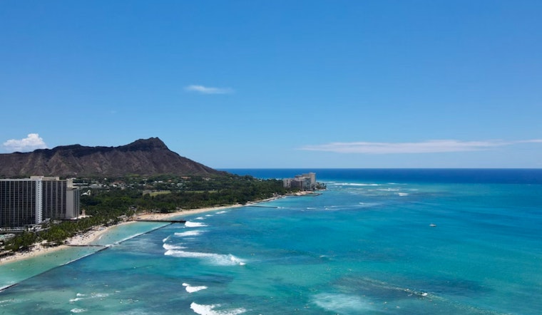
On the marine front, the weather forecast brings attention to an extended Small Craft Advisory through Wednesday morning for certain waters surrounding Maui County and the Big Island, due to the moderate to strong trade winds persistent in these areas. The buoys have picked up a south swell with most energy concentrated in the 12-14 second range. Consequently, the south shore surf is expected to experience a "small boost in surf" starting mid-day tomorrow and peaking through Wednesday into Thursday morning, before experiencing a gradual decline for the remainder of the week as per NWS.
Beachgoers looking towards north shores should expect minimal surf, a typical scenario for this time of year, whereas east shores will witness choppy conditions brought on by the continued trade winds. As the islands gear up for a week marked by the ebb and flow of trade wind-driven weather patterns, the advisories in place serve as a reminder for residents and visitors to remain attentive to the local conditions, whether planning activities in the sky or on the sea.


