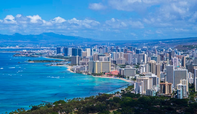
Honolulu residents can expect a steady pattern of typical summertime weather over the next week, as moderate to locally breezy trade winds continue to sweep through the islands, according to the National Weather Service (NWS). The high pressure north-northeast of Hawaii is anticipated to persistently influence local meteorological conditions, promising a fair mix of sun and showers, mainly on windward slopes and coasts. "Showers will favor windward slopes and coasts, particularly at night and during the early morning hours, with a few showers also reaching leeward communities at times," reports NWS Honolulu.
The forecast highlights that, in the coming days, Islanders can prepare to see trade wind trends to continue almost unchanged. NWS Honolulu's discussion mentions that "a 1032 mb high is centered around 1450 miles north-northeast of Honolulu," a factor contributing to the moderate trade winds currently experienced. These conditions are not only bringing refreshing breezes but also conducting bands of enhanced moisture through the archipelago, which are expected to intermittently deliver showers.
Navigators of the sky are advised to be cautious as moderate to locally breezy trade winds will result in isolated MVFR CIG conditions, mainly impacting windward and mountain areas. "AIRMET Sierra is in effect for windward areas statewide due to mountain obscuration from the clouds and showers," according to NWS Honolulu, with anticipation of conditions improving by mid-morning. Those airborne should also be mindful of low-level turbulence that could arise downwind of the terrain today due to the increased trade wind speeds.
Boaters are issued a straightforward directive as a Small Craft Advisory remains effective until 6 AM HST Tuesday for certain areas around Maui County and the Big Island, as stated by NWS Honolulu. This warning comes as moderate to strong trade winds are expected to blow due to high pressure drifting southwest today into tomorrow. For beachgoers, there's a mixture news: the existing small south swell is to hold through the morning before waning as the week progresses, with the next swell peaking midweek and bringing small surf to south facing shores.
As the winds and tides churn, Hawaii embraces its paradisiacal rhythm of sun, surf, and sporadic showers. Islanders and visitors alike would do well to prepare for the conditions ahead, keeping watch on the skies and seas, remaining vigilant on the water, and possibly relishing a splash or two on the leeward sides, as noted by the NWS Honolulu's thorough advisories and forecasts.


