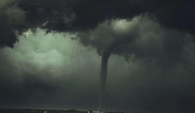
Residents in the Washington DC area braced themselves as the National Weather Service issued a series of urgent weather warnings today, forecasting severe conditions, including thunderstorms and possible tornado activity. Gale warnings have been declared for all tidal waters until 10 PM, demonstrating the strength and ferocity of the expected winds. In an escalated response to the weather's potential impact, a Tornado Watch has also been put in effect until 2 PM EDT for District of Columbia, as per the National Weather Service forecast.
Moreover, there's a Coastal Flood Warning in place for Baltimore County and Baltimore City through this afternoon and for Anne Arundel County through tonight. The forecast predicts a tumultuous day with 100% chance of showers and a possible thunderstorm that could bring new rainfall amounts between a quarter and half of an inch, illustrating the severity of the storm system moving through the area. Furthermore, visibility might be affected as the dew point stands at a high 75°F, with the heat index positioning itself uncomfortably at 80°F even amid overcast conditions.
Concerns about flash flooding have been confirmed by a Flood Watch that remains in effect through this evening. According to the National Weather Service , “flash flooding caused by excessive rainfall continues to be possible,” signaling that residents should remain on high alert. The Flood Watch covers parts of DC, Maryland, and northern Virginia, reflecting the broad scope of the current weather threat.
River flooding could persist into the weekend, complicating recovery and response efforts as the remnants of what was once Debby continue their march northward. The forecasted rainfall totals range from 2 to 4 inches, with localized amounts potentially reaching up to 6 inches. In light of these potential hazards, residents are strongly advised to remain vigilant and prepared to take action if needed, as reported in the NWS advisories.
Amid the ominous predictions, a brief respite is expected, with weather conditions improving significantly starting Saturday, featuring sunny skies and high temperatures near 88. As the skies clear, this weather event highlights the need for preparedness in the face of potential challenges. For the latest updates on the weather situation and safety guidelines, as mentioned in the National Weather Service forecast.


