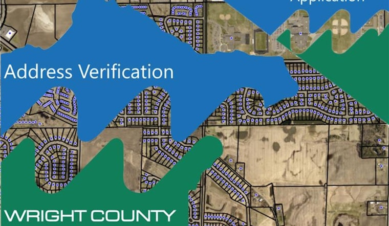
In a significant move towards enhancing the safety and efficiency of emergency response services in Wright County, the county's GIS department has unveiled its latest digital tool - the "911 Address Verification" application. The new app is designed to offer Wright County property owners a swift way to check and confirm the address data that is utilized by emergency dispatchers. This fresh technological advancement is aimed squarely at ensuring that, in moments where every second counts, responders have the correct information to reach those in need without unnecessary delays.
Access to the application is straightforward. Upon visiting the application, property owners can view the listed address and the exact dispatch point that emergency services would be directed to. But, the app isn't just a passive reference tool. It provides Wright County residents the capability to report errors, substantially diminishing the risk of misdirected emergency personnel due to incorrect address information. Property owners interested in the creation process behind their addresses can also find pertinent information within the app. The county has taken an additional step to ease users into the process by including a "Click Here for User Guide" link at the top of the app's interface, a measure to foster a better understanding of the tool's functionalities.
While the application represents a stride in modernizing emergency response protocols, it comes with a key caveat that users should be aware of – the addresses on the app may not always match the property's mailing address. As such, Wright County GIS encourages users to exercise due diligence in verifying the information and not to hesitate to report any discrepancies. For further inquiries or necessary clarifications, the county has made themselves available via email at [email protected].
The importance of this tool cannot be overstated, especially for a country that understands how geospatial data can impact response times in critical situations. With improved accuracy in navigating responders to the correct locations, this app could potentially shave off crucial minutes in response scenarios, possibly saving lives. For those interested in taking advantage of this new application, it is accessible through the official Wright County website or directly through the dedicated portal found here.


