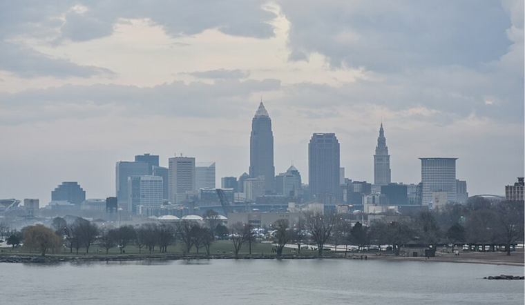
As we enjoy the final breaths of summer in Cleveland, a significant shift in the weather pattern is coming. The National Weather Service in Cleveland has issued a forecast discussion detailing what Ohioans can expect in the coming days. There's one more day to bask under the influence of high pressure, with skies hazy from distant wildfires, although no direct impact on air quality is expected as the smoke is elevated.
The high-pressure system will move eastward as the beckoning upper trough from the Upper Midwest nears, and we're in for clouds building up from the west. "Low pressure and its accompanying cold front will glide across the Lower Great Lakes during the day on Friday," the National Weather Service explains, predicting scattered showers and a potential thunderstorm kick-off as early as daybreak in northwest Ohio. There's a note of caution, too, with the potential for strong to severe thunderstorms, particularly east of I-71 on Friday, that could bring damaging winds and even a chance of isolated large hail, according to NWS Cleveland.
Temperatures will run the gamut, peaking in the mid to upper 80s across northern Ohio today before dropping in the wake of Friday's cold front. The weekend promises a heft of fall air, with Saturday's highs stagnating in the low to mid-60s. "The upper-level trough will continue to deepen across southern Ontario and Quebec Canada as well as the Northeast CONUS Saturday night through Sunday night," NWS staff note, ensuring that sweater weather is inbound.
The watery backdrop of Lake Erie is set for drama, too, with expectations of scattered lake effect rain showers and the prospect of waterspouts along the lake and the shoreline late Friday through Saturday. But, for those lamenting the onset of cooler climes, the skies should clear up come Sunday, setting the stage for "Mostly sunny skies" and a gradual warming trend through the early to the middle of next week, with temperatures soaring back into the 70s and 80s, according to National Weather Service in Cleveland.
Mariners should note a fair window for lake outings initially before "conditions on the lake will be fairly nice today with a light southerly and offshore flow," as forecasted by NWS Cleveland. However, this tranquility is fleeting, as post-cold front Saturday calls for a Small Craft Advisory, thanks to 15-25 knot northwesterly winds and 'wave heights greater than 4 feet'. Boaters seeking solace will find reprieve soon enough, with high pressure inviting calmer waters and agreeable boating conditions by early next week.


.jpg)