The former Tropical Storm Helene, now dwindling rapidly, will become part of the upper-level weather drama across the Ohio Valley this weekend, according to a weather update from the National Weather Service Cleveland. As Helene's remnants lose their tropical characteristics and meld into the upper-level low, NorCal transplants may find the weather less dramatic than the Bay Area's microclimates.
Wielding remnants from the southeast, Helene will push patches of precipitation into the southern Ohio forecast area, touching Marion to Knox County with an impending surge anticipated to roll through later today. The NWS Cleveland discusses an expansive rain area transitioning to more "scattered this evening into tonight," noting winds across Northwest and Central Ohio could gust up to 45 mph.
Forecast discussions aren't just for weather aficionados; this weekend's weather will impact aviation, with the NWS detailing "a gradual lowering of ceilings to the 1-3kft range" and at airports, visibility may dip, and gusty northeast winds prevail. Air travelers may experience disruptions, given the expectation of those low visibilities and heavy rain, especially towards the south and west where the now-tame Helene makes her mark.
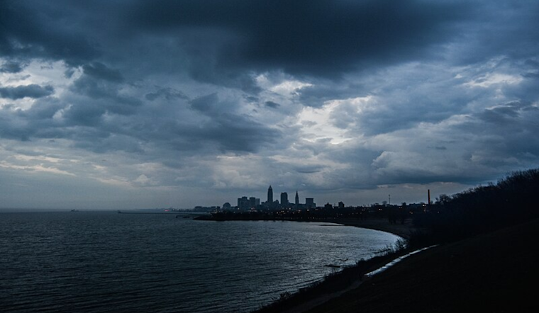
The marine environment responds in kind. Lake Erie braces with advisories for small craft and beach hazards as winds whip from the northeast to east, with waves piling up to 10 feet before Helene's influence wanes early next week. Then, as the shortwave trough from Canada enters the scene, it might prompt a few thunderstorms, swinging winds around and changing the waves yet again, the NWS Cleveland reports.
Looking ahead, Helene's drama fizzles out as the region sees a more stable weather pattern. The longer-term forecast suggests a return to fair conditions after Tuesday's cold front passage, and, for a moment at least, it seems even the skies need a respite from all the commotion to settle back into the quiet rhythm of early fall.


.jpg)