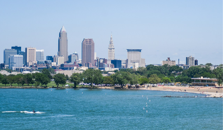
For those looking to plan their weekend around the weather, the unseasonably warm and arid conditions will persist through the end of the week in the Great Lakes region. According to the National Weather Service in Cleveland, Ohio, "strong surface high pressure over New England will continue to have the most influence today with continued E to NE flow," ensuring mostly sunny skies will aid in a warm-up.
Despite patchy fog threatening visibility in parts of Northwest and north central Ohio this morning, the fog is set to dissipate by midday. This comes after "several sites are at one half mile, with KTOL checking in with 1/4 mile." According to NWS, however, these conditions aren't expected to last, with the fog projected to clear swiftly after sunrise. Visitors and residents can anticipate highs reaching the low 80s away, with some areas in Northwest Ohio getting a bit toastier, possibly climbing into the mid-80s as warm air advection begins to take effect.
The weekend forecast shows no major disruptions, as the omnipresent ridge remains firmly ensconced across the region. Saturday is pegged to be another scorcher, with temperatures potentially soaring into the mid to upper 80s. While precipitation chances remain quite low, a weak boundary from the previous day’s activity might trigger some limited shower development in Northeast Ohio and Northwest Pennsylvania.
As we move into Sunday and beyond, a stronger shortwave is expected to nudge over the ridge and usher in a cold front that will finally introduce some variety to the weather pattern. Though hesitant, this front will begin to creep Sunday night, offering the "first 40 PoP in a while for the forecast area," as the National Weather Service reported. Monday's temperatures are predicted to take a milder turn, dipping into the 70s, a stark contrast to the downright balmy readings we’ve seen lately.
The outlook for boaters on Lake Erie remains favorable, with the region’s minimally fluctuating pressure gradients contributing to mild lake conditions. Mariners should expect predominantly southeast to easterly breezes, punctuated by occasional lake breezes, over the coming days. According to the National Weather Service's marine outlook, the approach of a low-pressure system early next week could see a slight uptick in winds, but nothing that looks to warrant urgent marine advisories or headlines.


.jpg)