The Hawaiian Islands are set to experience a mixed bag of weather conditions throughout the upcoming week. According to the National Weather Service Honolulu's latest forecast, breezy easterly trades will hold firm today, giving way to a temporary relaxation come tomorrow through Monday. The reason? A surface ridge to the north is taking a slight bow. Windward and mauka communities can expect showery favoritism, with a modest chance of precipitation reaching the leeward and interior areas due to an upper-level disturbance nosing southward by tomorrow.
In what can only be deemed a slightly to notably unpredictable twist, model guidance suggests that as upper heights drop this weekend, due to that wandering upper low, the weaker trades might generate enhanced windward showers. Indeed, some of those showers could find their way over to the leeward locales or even spring up owing to local sea breezes. "Guidance remains in good agreement, showing breezy easterly trades holding today as the surface ridge stays far north of the state," outlines the NWS forecast, foreshadowing a return to more robust and regular trade winds by Tuesday.
For aviators, this weekend could bring challenges: An upper-level low is anticipated to waft over the state, bringing the potential for altered flight conditions. "Enhanced SHRA are expected mostly over windward and mauka locations, with limited spillover to leeward areas," the NWS forecast notes. Mariners aren't left out, with a high-pressure ridge keeping a steady grip on the trades today, bound to slacken only briefly as the new week approaches due to a cold front's push through the far northern Central Pacific.
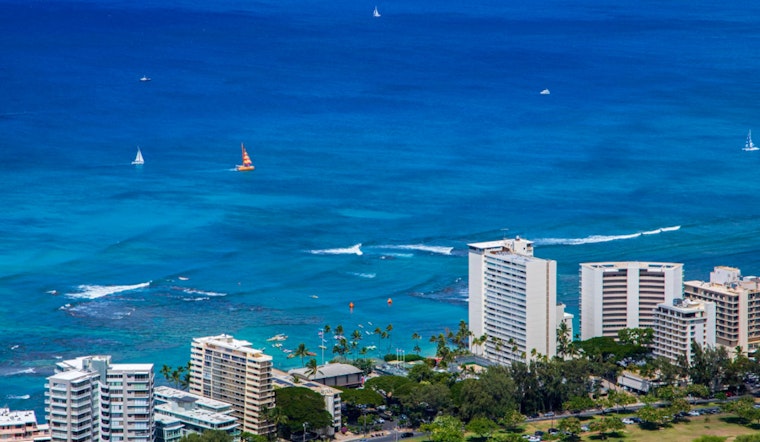
Surf conditions are also hitching a ride on this weather roller coaster. Prospects for north and west shorelines are expected to surge by Tuesday courtesy of a gale charging eastward near the Aleutians and into the Gulf of Alaska. "Guidance shows this northwest swell peaking locally Tuesday night into Wednesday out of the northwest," the NWS report predicts, forecasting a swell shift and falter by end-week. South shore surfers, however, will have to make do with ripples as opposed to waves over the weekend, with a hopeful uptick set to arrive midweek. As the trades pare down, so too will the chop on the east-facing beaches from tomorrow onwards.


