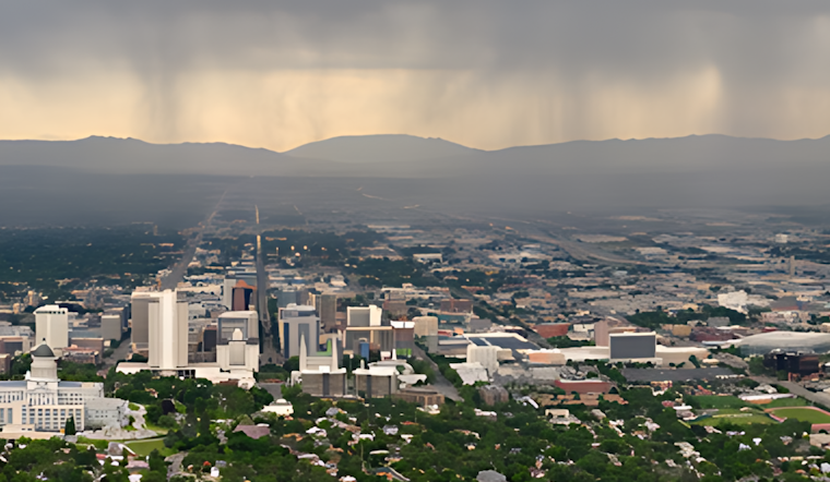
The National Weather Service in Salt Lake City has updated the local forecast, pointing to a week that alternates between sunny skies and scattered thunderstorms. As of this morning, the temperature was a mostly comfortable 72°F, with a reported humidity of 35%. Visibility stands clear at 10 miles, with an east-southeast wind moving at a gentle 10 miles per hour.
For those planning their day, it's worth noting a slight chance of showers is in the cards between noon and 3 pm, potentially escalating to showers and thunderstorms after 3 pm with the odds sitting at 20%. Highs are expected to near 91 degrees before the wind shifts west-northwest later in the afternoon according to the National Weather Service.
Looking ahead into the evening, the sky should clear up with a low of around 65°F. This pattern of sunny mornings followed by sporadic precipitation continues into the week, with Tuesday seeing a 30 percent chance of afternoon showers and thunderstorms. High temperatures will hover near the 90-degree mark, while evenings cool down to the mid-60s.
Wednesday's forecast remains optimistic for those preferring clear skies with only a 20 percent chance of showers after noon and a consistent high around 90°F. On the other side of the night, as Thursday approaches, Salt Lakers might want to grab an umbrella. The chance of morning showers is pegged at 30 percent, amidst mostly sunny conditions and a cooler high of 69 degrees.
The rest of the week promises a meteorological breather, Friday and Saturday are slated to be sunny, with highs comfortably sitting at 74 and 82 degrees, respectively. Come Sunday, anticipate more sun with temperatures climbing to a pleasant 84 degrees, capping off a week that suggests one might keep both sunglasses and umbrellas close at hand.


