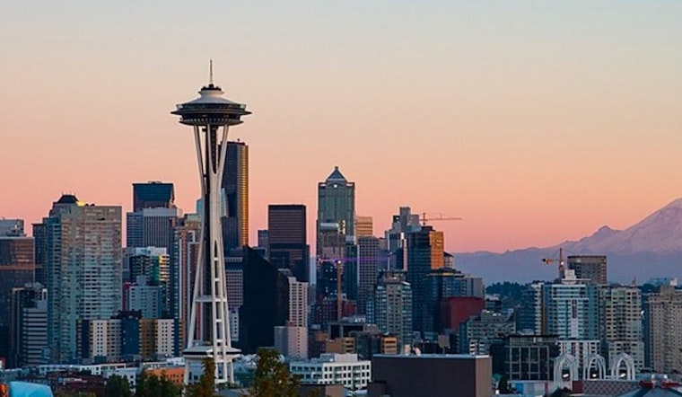
The National Weather Service in Seattle has issued a weather forecast highlighting widespread haze across the area, with temperatures today expected to reach a comfortable high of near 78 degrees. A gentle south-southwest breeze will accompany the sunshine, blowing at about 5 to 7 miles per hour, according to the National Weather Service update.
Tonight's conditions will maintain the haze, while clouds are set to increase, paving the way for cooler temperatures around 59 degrees. The south-southwest wind should remain steady at around 6 mph. Come Monday, Seattleites can expect mostly cloudy skies with highs dipping slightly to near 72. The light and variable wind won't provide much in the way of a breeze.
The cloud cover persists into Monday night, with lows expected to hover around 56 degrees. The forecast suggests a calm evening as the north northwest wind slows to around 5 mph before it becomes calm. As we transition into Tuesday, the mostly cloudy skies remain, accompanied by a high of about 71 degrees and a south-southwest wind blowing gently at 3 to 6 mph.
Chances of showers start to creep into the forecast Tuesday night, with a 40 percent likelihood after 11 p.m. The pattern of mostly cloudy skies continues into Wednesday, with a 50 percent chance of showers and high temperatures around the mid-60s. Wednesday's nighttime shows a prospect of showers primarily before 11 p.m.; afterwards, the skies are predicted to partly clear with a low around 53.
Looking ahead, Thursday provides respite with mostly sunny conditions and high temperatures rebounding to near 70 degrees. However, the potential for showers returns Thursday night with a slight chance after 11 p.m. Seattle's weather pattern suggests an oscillation between showers and partly cloudy skies heading into the weekend, maintaining a cool trend with highs in the mid-60s and lows in the mid-50s. The city should brace for a possibly wet end to the week, with chances of showers dominating the forecast from Friday into Saturday.


