As the Bay Area prepares for the week ahead, the weather forecast for Honolulu predicts a season of light to moderate trade winds with some periodic showers, particularly in the windward and mauka areas until tomorrow. According to the National Weather Service in Honolulu, locals can expect a brief strengthening of trade winds next week before they settle back down.
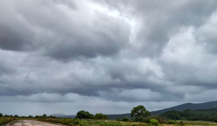
The NWS Honolulu's recent report notes that troughing to the north and west of the main Hawaiian Islands is impacting the subtropical ridge, resulting in moderate wind speeds over local waters. An upper low that was west of the islands has shifted, taking with it high cloud coverage and presenting clearer skies for the state. Despite the clearer skies, radar still shows light shower activity, mainly persisting as weak island plumes west of Maui County and the Big Island. Earlier cloud cover over the leeward slopes of the Big Island has also cleared, providing sunny conditions for most regions.
In their discussion, the NWS predicts a "rather dry, moderate trade wind pattern" that will persist through at least tomorrow. Stability is expected to increase as a ridge strengthens. Looking ahead, they note a possible increase in shower coverage by Monday night, as tropical moisture could be pulled north, although current satellite imagery has yet to confirm this possibility.
For aviation interests, the NWS anticipates moderate trades to continue, with conditions favoring cloud build-ups and showers over windward and mountain areas during the night and early morning hours. Daytime may see isolated showers in interior leeward areas due to sea breezes. "No AIRMETs are currently in effect and none are expected through the next 24 hours," which means air travel should proceed with relatively few weather-related complications.
Marine conditions, meanwhile, are also influenced by the dynamic weather patterns. The progression of several cold fronts across the North Pacific will reduce the region's pressure gradient and, consequently, the wind force. As per the NWS, trade winds will regain strength early next week, possibly warranting Small Craft Advisories in some eastern channels by Tuesday. Surfers can look forward to a small swell on the north shore that will peak on Monday evening, bringing potentially advisory-level surf conditions.
As for any immediate weather warnings or advisories, the forecast remains clear. The Honolulu Forecast Office confirms that there are no watches, warnings, or advisories currently in place for the region. For those looking to enjoy the weekend, the weather seems cooperative, with only minor interruptions from the usual Hawaiian showers.


