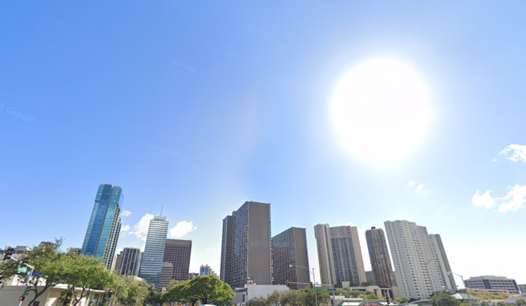
As Honolulu braces for a week of weather fluctuations, the National Weather Service reports that residents can expect "locally breezy trade winds" through tonight with "just a few showers, mainly to windward areas." According to the latest forecast, these winds are set to diminish tomorrow with a shift to lighter winds anticipated for the remainder of the week.
These conditions may provide some reprieve from the wetter pattern, which could return by next weekend. "A strong and low subsidence inversion is the result of a strong mid-level ridge centered directly overhead," resulting in a "mostly dry trade wind regime," as stated by the NWS. However, for the die-hard sun seekers, the silver lining is a mostly dry week, though a wetter pattern may be peeking over the horizon by next weekend.
The week ahead brings a slight chance of afternoon showers over leeward areas and a chance of windward showers at night. For those flying, the National Weather Service reports that "moderate to locally breezy trades are expected through the rest of today," with VFR conditions mostly prevailing, ensuring smooth aviation activity.
A Small Craft Advisory remains in effect until 6 PM HST this evening for several waters and channels, as "a strengthening and locally breezy trade wind flow is being supported by a ridge far N of the islands," as reported by the NWS. For the maritime community, the decrease in wind strength could mark a period of calmer seas. Recreational and commercial boaters in affected areas should take note and exercise caution until conditions have eased.
Beachgoers should also remain vigilant, as the Coastal Flood Statement issued by the NWS highlights the potential for minor coastal flooding, which is being exacerbated by the full moon's high tides. These conditions are expected to persist through early tomorrow morning. As for surfers, the Pacific keeps its casual rhythm with a small north to northwest swell fading mid-week and a moderate northeast swell rolling in by the week's end.


