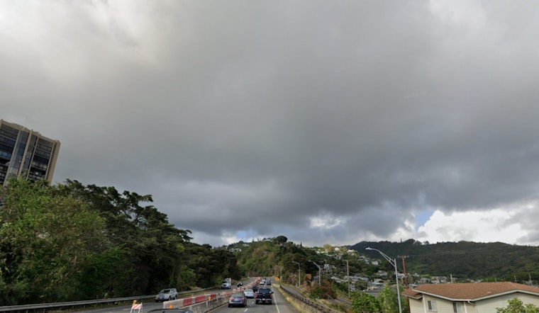
Trade winds are set to make a steady comeback in Honolulu starting later today and running through tomorrow, with windward and mauka areas preparing to receive the bulk of ensuing showers. According to the latest information from the National Weather Service (NWS) in Honolulu, residents can anticipate these moderate to breezy conditions to ease into a lighter pattern starting Monday, continuing through much of the coming week. As the NWS explains, "As upper heights rise and the surface ridge strengthens over the weekend, breezy trades and more stable conditions will return starting today."
The adjustments in the weather arrive as two gale lows are predicted to form. They are expected to situate themselves considerably northwest and northeast of Hawaii. Such changes will cause the prevailing surface ridge to alter its stance and, as a consequence, to likely cause the trade winds to return to a lighter pace. Nonetheless, "with most of the weather associated with these systems remaining far west and north- northeast of the area, mostly dry conditions should persist," as stated by the NWS. This scenario sets the stage for generally dry conditions, with the possibility of localized windward and afternoon leeward showers developing.
Current aviation conditions, as reported by the NWS, favor light to moderate easterly trade winds, which are set to strengthen today. VFR conditions will largely reign supreme, with some areas potentially experiencing brief MVFR conditions in the midst of showers. The NWS has further stated that "AIRMET Sierra is in effect for mountain obscuration across windward sections of Kauai through this morning," with an expected improvement as the day progresses.
Regarding the marine forecast, a high-pressure ridge is producing fresh to strong trade winds that will persist into Monday, affecting the Hawaii region. However, the upcoming low-pressure systems are expected to diminish the winds starting Tuesday. Despite these changes, surf heights are forecasted to remain below advisory levels. "A small relatively small to medium period northwest swell will continue to elevate north and west shore surf heights today, then diminish on Sunday as it shift from a more northerly direction," as mentioned by the NWS. Additionally, a small long-period south swell could lead to a slight increase in surf along south-facing shores early next week.
The NWS has also communicated concerns over minor coastal flooding, issuing a Coastal Flood Statement for all coastal zones. With higher than usual water levels coinciding with full moon high tides, early morning hours will likely witness the bulk of the flooding risk. Mariners and coastal residents and visitors should thus stay vigilant and prepared. For those navigating Hawaii's waters, the NWS has placed a Small Craft Advisory which remains active until 6 PM HST Sunday for multiple regions including Maalaea Bay and Big Island Southeast Waters. To access the full weather statement and updates, please visit the NWS Honolulu website at NWS Honolulu.


