The island's usual breezy conditions are set to change, with the National Weather Service in Honolulu indicating a weakening in the northeasterly trades today and tomorrow. The trade winds, a staple of the Hawaiian climate, are facing disruption due to a couple of fronts positioned north of the islands, while a surface trough, sliding through from the east, is poised to bring an ensemble of clouds and showers, focusing mainly on windward locales, according to the National Weather Service.
According to the latest forecast details gathered from the National Weather Service, the likelihood of precipitation has been dialed down slightly for the windward sides. This adjustment in the Probability of Precipitation (PoP) grids reflects the blend of models signaling a weakening of the trough approaching the islands. "The PoPs have been lowered a bit for the windward sides of the islands based on the National Blend of Models," the report says.
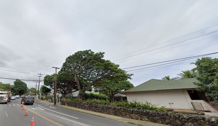
Shower activity has indeed seen an uptick on the Big Island thanks to clouds associated with the southern end of a faltering surface trough, as per National Weather Service. As this trough continues to lose its definition, the rest of the islands can expect some showers and cloud cover to pass by. However, the optimized forecast speaks to a generally mild and stabilized environment looking toward Friday, this due to an upper-level ridge anticipated to provide some atmospheric support.
For those with their sights set on the skies, the flying conditions reflect these subtle atmospheric changes as moderate northeast trade winds are expected to prevail through the week. Pilots in windward and mauka areas should prepare for intermittent marginal visual flight rules (MVFR) conditions brought on by potential showers and low clouds. However, everywhere else is likely to enjoy visual flight rules (VFR) conditions. "VFR should prevail elsewhere," according to the National Weather Service report.
Maritime concerns remain relatively serene, with the marine forecast indicating only gentle to moderate trade winds in the locale after the influence of a northwest high-pressure ridge wanes. The coming weekend might bring some change, but any substantial wind acceleration ought to hold off until next week, in alignment with the high-pressure system shifting northward. Meanwhile, water sports enthusiasts can expect a mixed bag of swells, harmonizing to produce conditions favorable for surfing on north, south, and west facing shores.
Currently, no watches, warnings, or advisories are in place, painting a picture of standard operating conditions for island residents and visitors alike. For the most updated forecast and advisories, islanders can reference the National Weather Service Honolulu's official website.


