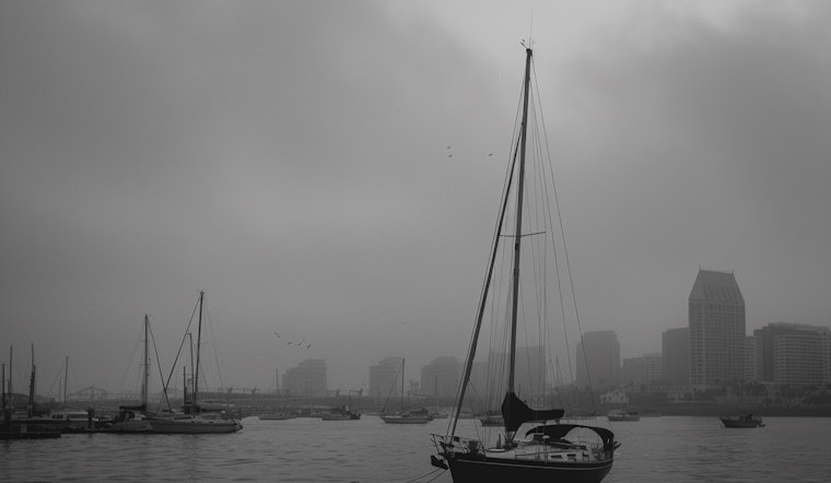
San Diegans can expect a cooling trend for the remainder of the week as a low-pressure system moves into the area, according to the National Weather Service in San Diego. Coastal and valley regions will feel the cooling most significantly through Thursday, while mountainous and desert areas will experience temperature drops into Friday. NWS San Diego reports Thursday will see coastal areas cool down to highs between 65 to 69 degrees and the western valleys alongside inland Orange County dipping to 67 to 71 degrees.
Meanwhile, the inland valleys are expected to chill to highs of 66 to 71 degrees, offering a few degrees cooler than Wednesday's weather. A steep temperature reduction is on the horizon for mountain areas, ranging from 58 to 68 degrees "a few degrees cooler than Wednesday at lower elevations to around 10 degrees cooler for the mountains," the NWS San Diego adds. High and low deserts witness high temperatures of 74 to 79 degrees and 84 to 88 degrees, respectively.
Shower chances increase toward the week's conclusion, with "a chance of light showers for late Thursday and Thursday night," as the marine layer intensifies and a low-pressure system advances from the northwest. The forecast, sourced from the NWS San Diego, points to a 40 to 50 percent probability of measurable precipitation across coastal waters to mountain regions.
Gusting winds are also to be anticipated especially in mountain and desert locales on Thursday afternoon and evening, with the NWS illustrating winds peaking with gusts to 25 to 35 mph and isolated harder gusts of 45 to 55 mph in the northern Coachella Valley below the San Gorgonio Pass. According to the Area Forecast Discussion, "Gusty west winds for the desert slopes of the mountains into the deserts are expected to peak for Thursday afternoon and evening."
As the weekend approaches, a more tranquil weather pattern appears set to emerge. Dry conditions and weaker winds are predicted for Friday, followed by "a warming trend for Saturday through Tuesday with high temperatures next Tuesday around 5 degrees above average for inland areas," as per the Area Forecast Discussion. Marine conditions will remain largely nonthreatening, with the possible exception of Thursday afternoon and evening when northwest gusts could surpass 20 knots in outer coastal waters.


