The weather in San Diego has been a few degrees above average this week, according to the National Weather Service (NWS). Thursday's temperatures were up to 10 degrees higher than the norm for inland areas, with the coastal regions experiencing highs between 71 to 81 degrees and the lower deserts hitting between 92 to 96 degrees. Even with a slight dip expected on Friday, conditions are still forecasted to be slightly warmer than average for this time of the year. NWS San Diego's report puts coastal areas at 70 to 77 and inland valleys at 81 to 88 degrees for Friday.
A substantial cooldown is predicted at the beginning of next week. NWS San Diego has alerted residents to anticipate a drop in temperatures for the mountains, with highs as much as 15 to 20 degrees below average. Next Tuesday's highs for the coastal areas could range from 61 to 65 degrees, while the lower deserts may see a comparatively modest range from 72 to 77 degrees. There could also be "patchy frost in portions of the Apple Valley for early next Wednesday," NWS San Diego alerts, with a 71 percent chance of the temperature falling to 35 or lower.
Additionally, a weather advisory mentioned that a low pressure system from the northwest is expected to bring even cooler weather, strong gusty west winds, and potential for showers from late Monday into Tuesday. The NWS predicted "stronger, mostly moderate to locally strong" winds for the mountains and deserts, peaking late afternoon and evening on Monday.
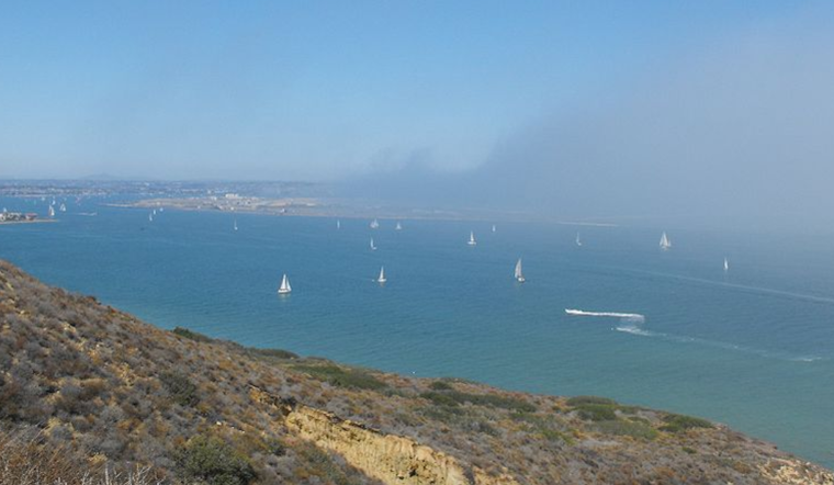
In the short term, the NWS San Diego issued a Dense Fog Advisory effective until 9 AM PDT this morning for Orange County Coastal Areas, Orange County Inland Areas, and San Diego County Coastal Areas. The advisory came in response to coverage of dense fog that could reduce visibility to between 0-4SM with cloud bases around 100-300 feet MSL. Travelers along the coast were advised to exercise caution due to the reduced visibility.
Mariners should also note that foggy conditions continue to affect oceanic excursions, with visibility dropping below 1 NM at times this morning. While no hazardous marine conditions are expected through early Monday, an uptick in west-northwest winds and higher swell on Monday could lead to more challenging conditions later in the week.


