Cleveland residents are facing a gusty transition into the holiday season. The National Weather Service in Cleveland has updated the forecast to indicate colder temperatures and the possibility of a lake-effect snow regime towards the weekend. Following a cold front sweeping through the area, NWS expects winds to maintain a presence, with gusts up to 30 mph, indicative of the windy systems that have characterized this fall in the region.
According to the discussion published by NWS, "High pressure builds in from the south tonight into Wednesday," with a low-pressure system trailing close behind through the Ohio Valley. The system is predicted to move south of the area from Wednesday night through Thursday, bringing a precipitation shield extending northward. The remaining marginal temperature may cause any precipitation to start as rain with possible transitions to wet snowflakes. However, a significant impact from the snow is not anticipated for Thanksgiving Day travel.
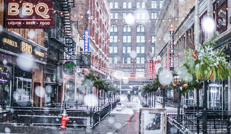
The NWS also highlights the onset of a colder air mass settling in the region post-Thanksgiving, possibly resulting in high temperatures below freezing on Friday. "The main question for any lake effect snow will be the final fetch across Lake Erie," the service notes, keeping eyes on Erie County, PA, as a primary contender for lake effect snow. The possibility of the lake effect snowband shifting into western New York is also on the radar.
The NWS's long-term forecast underscores continued low temperatures and lake-effect snow into early next week, setting the stage for a wintry environment that could impact travel and daily routines. "Therefore, there is some confidence in possible headline level snowfall for early next week," according to the daily aviation maritime report issued by the NWS. Meanwhile, marine conditions on Lake Erie are under advisories due to expected strong winds and increased wave activity, including a Gale Warning in effect for parts of the lake through to Wednesday.
In summary, residents and travelers in and around Cleveland should brace for a mix of rain and snow, the potential for lake effect snow accumulations, and consistently chilly temperatures as we move into the latter part of November, and the promise of winter's approach bears down.


.jpg)